
Empowering people involved in maritime business to achieve more by unlocking their digital potential.


No more juggling tools, essential maritime features are integrated to streamline your workflow. Access core maritime data and features in a single, affordable platform.
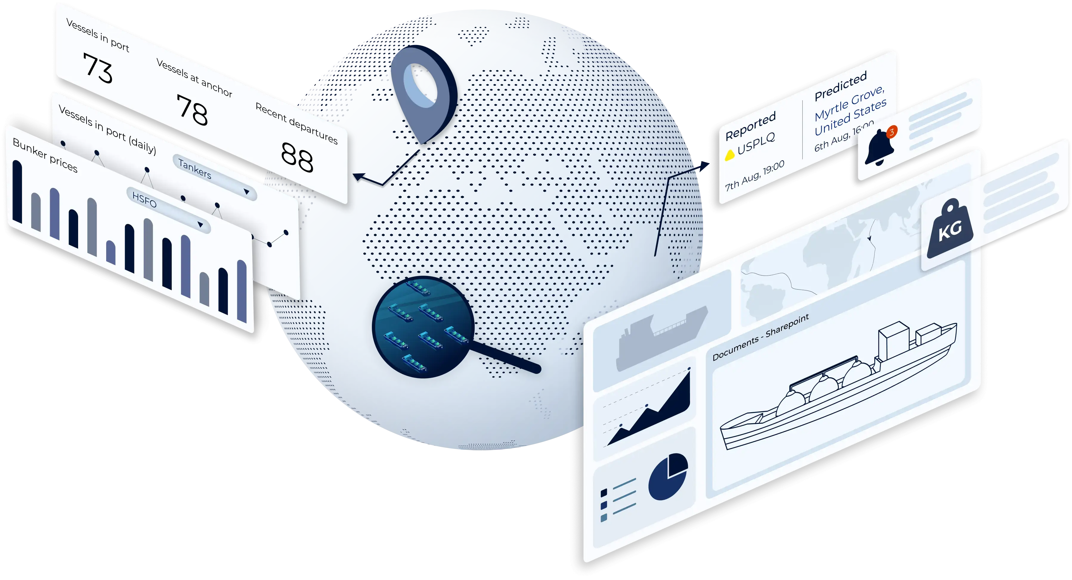
AI needs data to thrive but when data is trapped in silos, insight suffers. ShipIntel is a fully integrated system and breaks down these barriers, enabling context-rich analysis and smarter outputs.
Consolidate your software and reduce licensing costs while improving AI performance.
Enable data-driven decision-making by connecting all your operational data. Automate repetitive tasks, cut down manual work, and turn raw data into actionable intelligence when and where you need it.
AI alone doesn’t create breakthroughs, but people do. Foster collaboration across teams, disciplines, and industries to challenge assumptions, uncover blind spots, and generate balanced, high-value insight.

