
OLYMPIC FRIENDSHIP
Tanker / Suezmax, IMO 9745251
Where is the vessel?
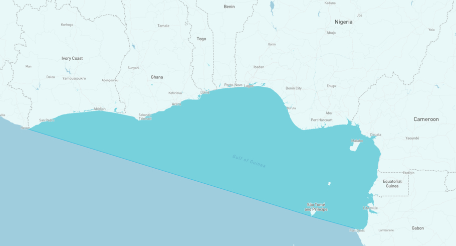
OLYMPIC FRIENDSHIP is currently in the Gulf of Guinea and reports its navigational status as under way using engine, based on AIS data received 1 hours ago.
Current voyage information
OLYMPIC FRIENDSHIP departed from Las Palmas on 2nd Oct 16:02 UTC and is heading to Kribi, Cameroon.
 Las Palmas,
2nd Oct 16:02 UTC
Las Palmas,
2nd Oct 16:02 UTC
 Kribi, Cameroon
ETA
Kribi, Cameroon
ETA
Last port calls
| Port name | Arrival time | Departure time |
|---|---|---|
|
Las Palmas (es)
|
1st Oct 10:18 UTC | 2nd Oct 16:02 UTC |
 Pembroke (gb)
|
||
 Cap Lopez (ga)
|
View vessel sanctions, MMSI changes, missing AIS periods and historical trading patterns, including speed changes, port calls, port operations and STS operations in ShipIntel Essentials.
What type of vessel is this?
OLYMPIC FRIENDSHIP (IMO 9745251) is a Tanker / Suezmax vessel built in 2017 and sailing under the flag of Marshall Islands. The vessel has an overall length (LOA) of 274 meters and a beam of 48 meters. Its summer deadweight capacity is 158,871 tonnes.
Vessel details
General information
- IMO:
- 9745251
- MMSI:
- 538007512
- Flag:
- Marshall Islands
- Year built:
- 2017
- Callsign:
- V7SP5
Capacity & load
- Draft (summer):
- 16.42 m
- Deadweight (DWT):
- 158,871 t
Dimensions
- Length overall (LOA):
- 274 m
- Width (beam):
- 48 m
Companies
- Registered owner:
- Operator:
- Technical ship management:
- Insurance:
- Classification:
Available in ShipIntel Essentials
Sanctions
- Sanctions information
Available in ShipIntel Essentials
For individuals interested in tracking vessels

ShipAtlas
Live AIS vessel tracking at your fingertips
High-quality AIS data for any type of vessel with class A transponder, wrapped in a very user-friendly web and mobile app.
Try ShipAtlas for freeUse ShipAtlas to:
- View live satellite AIS positions updated every 5th minute for any type of class A transponder vessel.
- View last and next port to see where the vessels have been in the past (last 3 port calls) and where they are heading.
- Get notifications when vessels arrive or depart from ports, and when they set their reported destination.
- Create sea routes from any of the vessel's AIS positions to any port and find out when vessels will arrive based on different speeds.
- Stay updated on maritime incidents in app, and see which vessels are involved.
- Access daily updated maritime weather forecasts such as wind, waves, ocean currents, sea ice and precipitations.
For companies involved in maritime business

ShipIntel Essentials
Essential maritime features built on high-quality data in one solution
ShipIntel Essentials is an all-in-one maritime intelligence and collaboration platform that helps companies grow revenue, reduce software costs, break down information silos, and harness the power of their data through AI.
See more. Know more. Act faster.
The ShipIntel Concept offers several “silo software” solutions in one platform at an affordable price for any type and size of company involved in maritime business.
ShipIntel Essentials gives you the essential features you need, built on high-quality maritime data, and lets you seamlessly integrate your private data while keeping it fully secure and confidential. Find what you need, when you need it, and spend more time making the right decisions and executing your job more efficiently.
The shipping market never stands still. Access historical, real-time, and predictive maritime insights to stay ahead of market movements, operational risks, and business opportunities.