
BARAAWE 1
Tanker / Small, IMO 9646479
Where is the vessel?
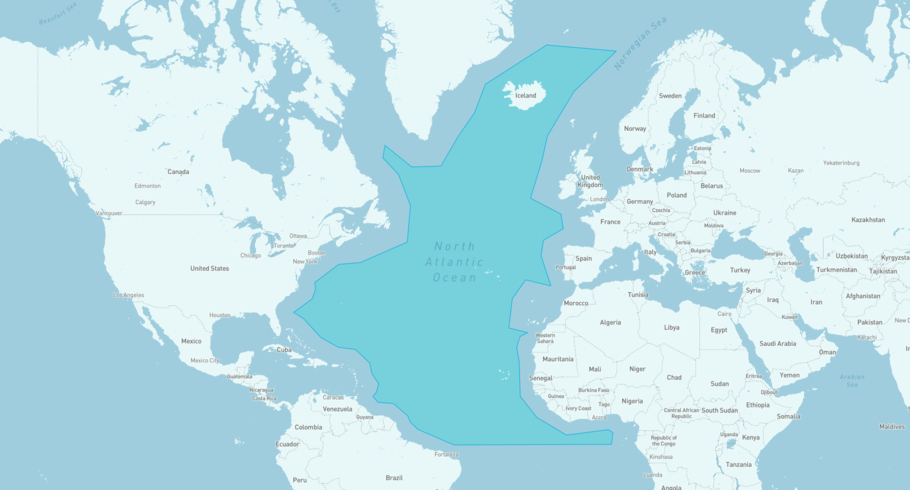
BARAAWE 1 is currently in the North Atlantic Open Water, based on AIS data received less than 1h ago. Track BARAAWE 1 live using high-quality AIS by registering a free account in ShipAtlas by Maritime Optima.
Track live positionWhat type of vessel is this?
BARAAWE 1 (IMO 9646479) is a Tanker/Small vessel built in 2012 and is sailing under the flag of Saint Kitts and Nevis. She has an overall length (LOA) of 126 meters and a width (beam) of 20 meters. Her summer deadweight capacity is 12,476 tonnes.
Current voyage information


Register for free to view live position, current speed, draft, course and navigational status.
Last port calls
| Port name | Arrival time | Departure time |
|---|---|---|
|
Karachi (pk)
|
Monday 1st June | Thursday 4th June |
|
Khor al Fakkan (ae)
|
Friday 8th May | Tuesday 26th May |
 Male (mv)
|
Sunday 26th April | Tuesday 28th April |
Frequently asked questions
Where is BARAAWE 1 right now?
The current position of BARAAWE 1 in the the North Atlantic Open Water, last seen less than 1h ago.
What type of vessel is BARAAWE 1?
BARAAWE 1 is a Tanker classified as a Small.
How big is BARAAWE 1?
BARAAWE 1 is 126 meters long (LOA) and 20 meters wide (beam).
Vessel details
| Name | BARAAWE 1 |
| Vessel type | Tanker / Small |
| IMO | 9646479 |
| MMSI | 341987001 |
| Callsign | V4NF6 |
| Flag | Saint Kitts and Nevis |
| Year built | 2012 |
| Draft (summer) | 8.2 meters |
| Deadweight (DWT) | 12,476 tonnes |
| Length overall (LOA) | 126 meters |
| Width (beam) | 20 meters |


