
BLUE WATER II
Oil service / AHTS, IMO 9539157
Where is the vessel?
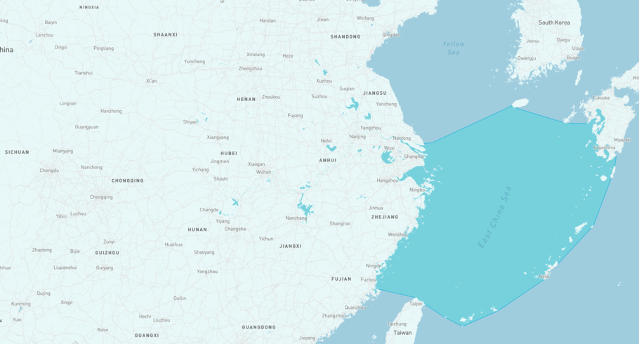
BLUE WATER II is currently in the East China Sea, based on AIS data received more than 12h ago. Track BLUE WATER II live using high-quality AIS by registering a free account in ShipAtlas by Maritime Optima.
Track live positionWhat type of vessel is this?
BLUE WATER II (IMO 9539157) is a Oil service/AHTS vessel built in 2009 and is sailing under the flag of Panama. She has an overall length (LOA) of 42 meters and a width (beam) of 11 meters. Her summer deadweight capacity is 329 tonnes.
Current voyage information


Register for free to view live position, current speed, draft, course and navigational status.
Last port calls
| Port name | Arrival time | Departure time |
|---|---|---|
|
Istanbul (tr)
|
Thursday 8th February | Wednesday 8th May |
|
Nishtun (ye)
|
Monday 26th June | Tuesday 31st October |
|
Mukalla (ye)
|
Friday 9th June | Sunday 25th June |
Frequently asked questions
Where is BLUE WATER II right now?
The current position of BLUE WATER II in the the East China Sea, last seen more than 12h ago.
What type of vessel is BLUE WATER II?
BLUE WATER II is a Oil service classified as a AHTS.
How big is BLUE WATER II?
BLUE WATER II is 42 meters long (LOA) and 11 meters wide (beam).
Vessel details
| Name | BLUE WATER II |
| Vessel type | Oil service / AHTS |
| IMO | 9539157 |
| MMSI | 352002320 |
| Callsign | 3E2254 |
| Flag | Panama |
| Year built | 2009 |
| Deadweight (DWT) | 329 tonnes |
| Length overall (LOA) | 42 meters |
| Width (beam) | 11 meters |


