
CAPE EXPRESS
/ Naval, IMO 9521045
Where is the vessel?
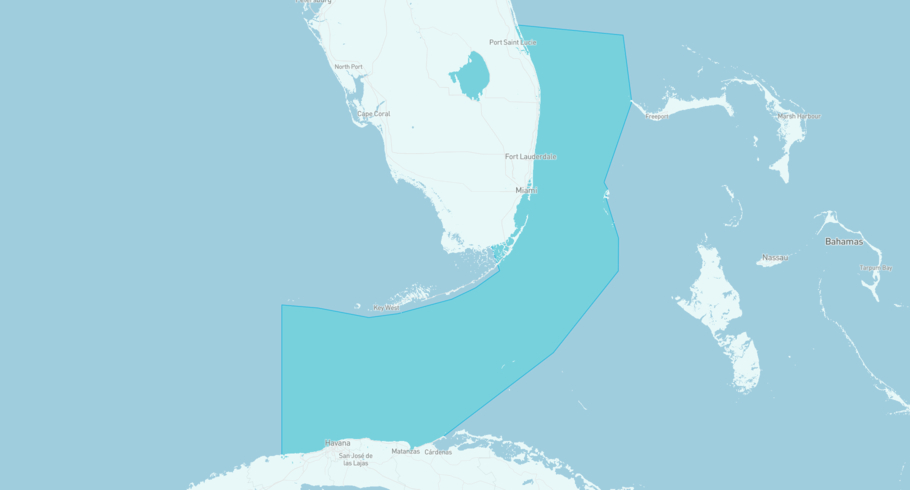
CAPE EXPRESS is currently in the Straits of Florida, based on AIS data received less than 1h ago. Track CAPE EXPRESS live using high-quality AIS by registering a free account in ShipAtlas by Maritime Optima.
Track live positionWhat type of vessel is this?
CAPE EXPRESS (IMO 9521045) is a /Naval vessel built in 2008 and is sailing under the flag of Antigua and Barbuda. She has an overall length (LOA) of 53 meters and a width (beam) of 11 meters. Her summer deadweight capacity is 850 tonnes.
Current voyage information


Register for free to view live position, current speed, draft, course and navigational status.
Last port calls
| Port name | Arrival time | Departure time |
|---|---|---|
|
Port Everglades (us)
|
Sunday 26th July | Monday 27th July |
|
Great Stirrup Cay (bs)
|
Saturday 25th July | Saturday 25th July |
 Cockburn Harbour (tc)
|
Thursday 23rd July | Thursday 23rd July |
Frequently asked questions
Where is CAPE EXPRESS right now?
The current position of CAPE EXPRESS in the the Straits of Florida, last seen less than 1h ago.
What type of vessel is CAPE EXPRESS?
CAPE EXPRESS is a classified as a Naval.
How big is CAPE EXPRESS?
CAPE EXPRESS is 53 meters long (LOA) and 11 meters wide (beam).
Vessel details
| Name | CAPE EXPRESS |
| Vessel type | / Naval |
| IMO | 9521045 |
| MMSI | 304822000 |
| Callsign | V2YL2 |
| Flag | Antigua and Barbuda |
| Year built | 2008 |
| Deadweight (DWT) | 850 tonnes |
| Length overall (LOA) | 53 meters |
| Width (beam) | 11 meters |


