
OKRA 1
Dry bulk / Cape, IMO 9209910
Where is the ship?
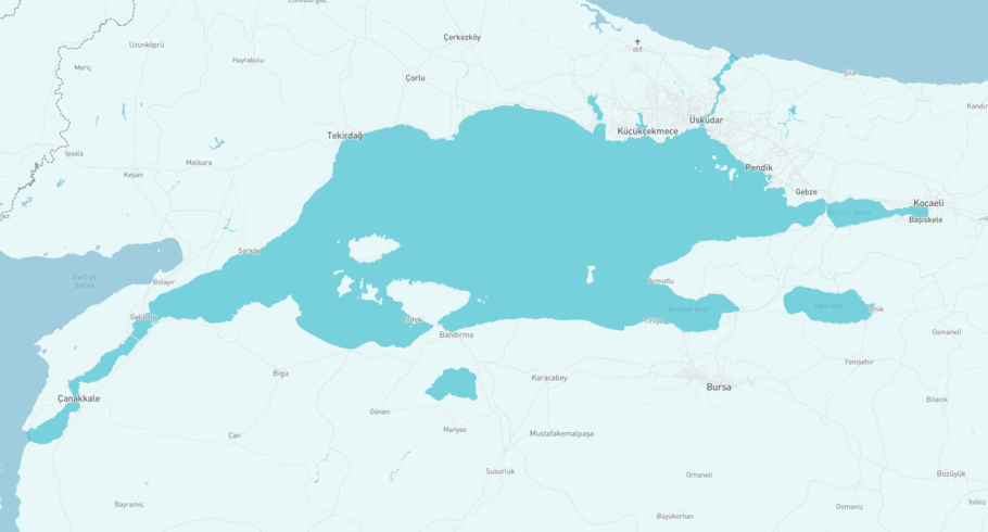
OKRA 1 is currently in the Sea of Marmara, based on AIS data received more than 12h ago. Track OKRA 1 live using high-quality AIS by registering a free account in ShipAtlas by Maritime Optima.
Track live positionWhat type of ship is this?
OKRA 1 (IMO 9209910) is a Dry bulk/Cape ship built in 1999 and is sailing under the flag of Liberia. She has an overall length (LOA) of 289 meters and a width (beam) of 45 meters. Her summer deadweight capacity is 171,199 tonnes.
Current voyage information


Register for free to view live position, current speed, draft, course and navigational status.
Last port calls
| Port name | Arrival time | Departure time |
|---|---|---|
|
Istanbul (tr)
|
Friday 11th October | Saturday 5th July |
|
Alang SBY (in)
|
Wednesday 1st February | Sunday 26th February |
 Colombo (lk)
|
Friday 20th January | Thursday 26th January |
Frequently asked questions
Where is OKRA 1 right now?
The current position of OKRA 1 in the the Sea of Marmara, last seen more than 12h ago.
What type of ship is OKRA 1?
OKRA 1 is a Dry bulk classified as a Cape.
How big is OKRA 1?
OKRA 1 is 289 meters long (LOA) and 45 meters wide (beam).
Vessel details
| Name | OKRA 1 |
| Vessel type | Dry bulk / Cape |
| IMO | 9209910 |
| MMSI | 636022097 |
| Callsign | 5LHE3 |
| Flag | Liberia |
| Year built | 1999 |
| Draft (summer) | 17.622 meters |
| Deadweight (DWT) | 171,199 tonnes |
| Length overall (LOA) | 289 meters |
| Width (beam) | 45 meters |


