
ABA I
Oil service / Drilling, IMO 7411521
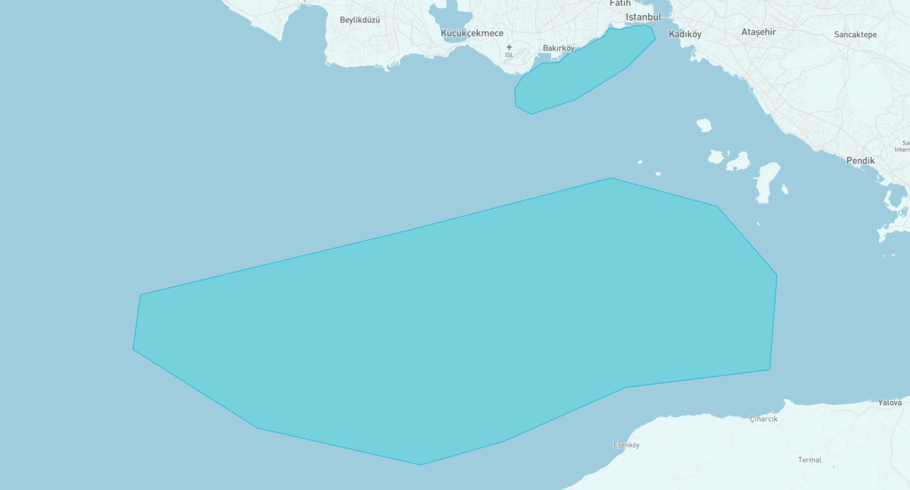
Where is the ship?
ABA I is currently in the Bosphorus Strait Northbound, based on AIS data received more than 12h ago. Track ABA I live using high-quality AIS by registering a free account in ShipAtlas by Maritime Optima.
Track live positionWhat type of ship is this?
ABA I (IMO 7411521) is a Oil service/Drilling ship built in 1976 and is sailing under the flag of Saint Kitts and Nevis. She has an overall length (LOA) of 159 meters and a width (beam) of 30 meters. Her summer deadweight capacity is 8,952 tonnes.
Current voyage information


Register for free to view live position, current speed, draft, course and navigational status.
Last port calls
| Port name | Arrival time | Departure time |
|---|---|---|
|
Istanbul (tr)
|
Thursday 8th August | Friday 20th September |
|
Istanbul (tr)
|
Wednesday 22nd May | Sunday 7th July |
 Lavan (ir)
|
Saturday 14th October | Wednesday 22nd May |
Frequently asked questions
Where is ABA I right now?
The current position of ABA I in the the Bosphorus Strait Northbound, last seen more than 12h ago.
What type of ship is ABA I?
ABA I is a Oil service classified as a Drilling.
How big is ABA I?
ABA I is 159 meters long (LOA) and 30 meters wide (beam).
Vessel details
| Name | ABA I |
| Vessel type | Oil service / Drilling |
| IMO | 7411521 |
| MMSI | 341510000 |
| Callsign | V4SL4 |
| Flag | Saint Kitts and Nevis |
| Year built | 1976 |
| Draft (summer) | 7.518 meters |
| Deadweight (DWT) | 8,952 tonnes |
| Length overall (LOA) | 159 meters |
| Width (beam) | 30 meters |


