
MARIAM
/ Utility vessel, IMO 9971068
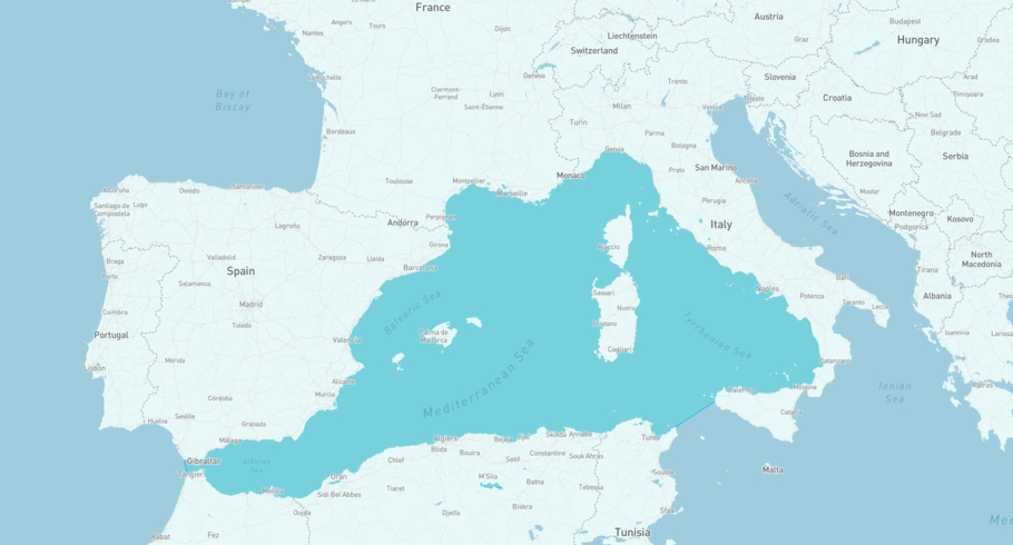
Where is the ship?
MARIAM is currently in the Mediterranean Sea, Western Basin, based on AIS data received less than 1h ago. Track MARIAM live using high-quality AIS by registering a free account in ShipAtlas by Maritime Optima.
Track live positionWhat type of ship is this?
MARIAM (IMO 9971068) is a /Utility vessel ship built in 2025 and is sailing under the flag of Saint Kitts and Nevis. She has an overall length (LOA) of 33 meters and a width (beam) of 13 meters. Her summer deadweight capacity is unknown.
Current voyage information
Register for free to view live position, current speed, draft, course and navigational status.
Last port calls
| Port name | Arrival time | Departure time |
|---|---|---|
 Annaba (dz)
|
Thursday 11th December | Thursday 11th December |
|
Bejaia (dz)
|
Sunday 23rd November | Saturday 29th November |
 Cherbourg-en-Cotentin (fr)
|
Sunday 9th November | Thursday 13th November |
Frequently asked questions
Where is MARIAM right now?
The current position of MARIAM in the the Mediterranean Sea, Western Basin, last seen less than 1h ago.
What type of ship is MARIAM?
MARIAM is a classified as a Utility vessel.
How big is MARIAM?
MARIAM is 33 meters long (LOA) and 13 meters wide (beam).
Vessel details
| Name | MARIAM |
| Vessel type | / Utility vessel |
| IMO | 9971068 |
| MMSI | 341218002 |
| Callsign | V4WB6 |
| Flag | Saint Kitts and Nevis |
| Year built | 2025 |
| Length overall (LOA) | 33 meters |
| Width (beam) | 13 meters |


