
MYCROFT
Tanker / Handy, IMO 9858773
Where is the ship?
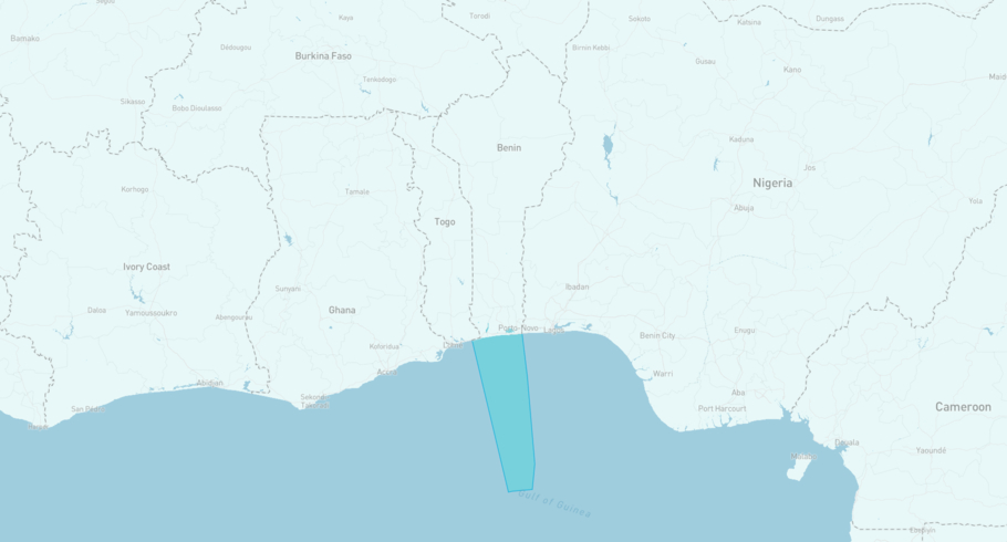
MYCROFT is currently in the Beninese Exclusive Economic Zone, based on AIS data received less than 1h ago. Track MYCROFT live using high-quality AIS by registering a free account in ShipAtlas by Maritime Optima.
Track live positionWhat type of ship is this?
MYCROFT (IMO 9858773) is a Tanker/Handy ship built in 2021 and is sailing under the flag of Marshall Islands. She has an overall length (LOA) of 154 meters and a width (beam) of 36 meters. Her summer deadweight capacity is 34,768 tonnes.
Current voyage information

Register for free to view live position, current speed, draft, course and navigational status.
Last port calls
| Port name | Arrival time | Departure time |
|---|---|---|
|
Lome (tg)
|
Monday 30th June | Saturday 5th July |
 Warri (ng)
|
Tuesday 24th June | Saturday 28th June |
|
Lome (tg)
|
Tuesday 17th June | Monday 23rd June |
Frequently asked questions
Where is MYCROFT right now?
The current position of MYCROFT in the the Beninese Exclusive Economic Zone, last seen less than 1h ago.
What type of ship is MYCROFT?
MYCROFT is a Tanker classified as a Handy.
How big is MYCROFT?
MYCROFT is 154 meters long (LOA) and 36 meters wide (beam).
Vessel details
| Name | MYCROFT |
| Vessel type | Tanker / Handy |
| IMO | 9858773 |
| MMSI | 538010988 |
| Callsign | V7A6418 |
| Flag | Marshall Islands |
| Year built | 2021 |
| Draft (summer) | 7 meters |
| Deadweight (DWT) | 34,768 tonnes |
| Length overall (LOA) | 154 meters |
| Width (beam) | 36 meters |


