
ROCK N ROLL
Tanker / Panamax (LR 1), IMO 9788394
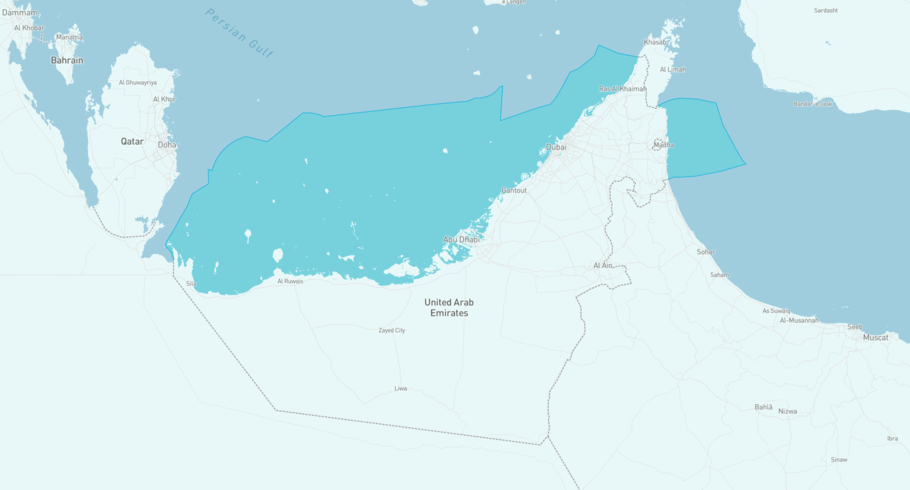
Where is the vessel?
ROCK N ROLL is currently in the Emirati Exclusive Economic Zone, based on AIS data received 11h ago. Track ROCK N ROLL live using high-quality AIS by registering a free account in ShipAtlas by Maritime Optima.
Track live positionWhat type of vessel is this?
ROCK N ROLL (IMO 9788394) is a Tanker/Panamax (LR 1) vessel built in 2017 and is sailing under the flag of Marshall Islands. She has an overall length (LOA) of 219 meters and a width (beam) of 38 meters. Her summer deadweight capacity is 79,905 tonnes.
Current voyage information

Register for free to view live position, current speed, draft, course and navigational status.
Last port calls
| Port name | Arrival time | Departure time |
|---|---|---|
|
Khor al Fakkan (ae)
|
Saturday 21st February | Tuesday 3rd March |
 Djibouti (dj)
|
Saturday 24th January | Sunday 15th February |
 Yanbu (sa)
|
Sunday 18th January | Wednesday 21st January |
Frequently asked questions
Where is ROCK N ROLL right now?
The current position of ROCK N ROLL in the the Emirati Exclusive Economic Zone, last seen 11h ago.
What type of vessel is ROCK N ROLL?
ROCK N ROLL is a Tanker classified as a Panamax (LR 1).
How big is ROCK N ROLL?
ROCK N ROLL is 219 meters long (LOA) and 38 meters wide (beam).
Vessel details
| Name | ROCK N ROLL |
| Vessel type | Tanker / Panamax (LR 1) |
| IMO | 9788394 |
| MMSI | 538012334 |
| Callsign | V7B2693 |
| Flag | Marshall Islands |
| Year built | 2017 |
| Draft (summer) | 13.817 meters |
| Deadweight (DWT) | 79,905 tonnes |
| Length overall (LOA) | 219 meters |
| Width (beam) | 38 meters |


