
DEEPSEA YANTAI
Oil service / Drilling, IMO 9731638
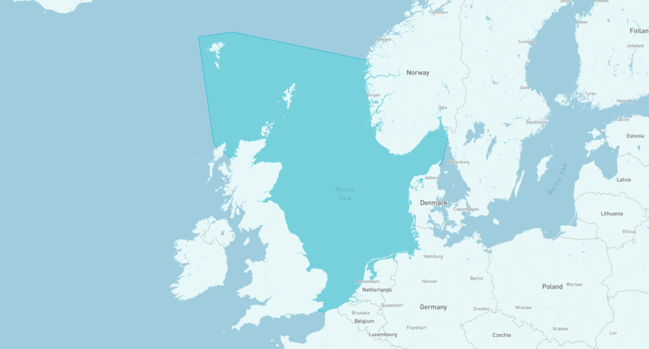
Where is the vessel?
DEEPSEA YANTAI is currently in the North Sea, based on AIS data received less than 1h ago. Track DEEPSEA YANTAI live using high-quality AIS by registering a free account in ShipAtlas by Maritime Optima.
Track live positionWhat type of vessel is this?
DEEPSEA YANTAI (IMO 9731638) is a Oil service/Drilling vessel built in 2019 and is sailing under the flag of Bahamas. She has an overall length (LOA) of 107 meters and a width (beam) of 73 meters. Her summer deadweight capacity is 17,670 tonnes.
Current voyage information
Register for free to view live position, current speed, draft, course and navigational status.
Last port calls
| Port name | Arrival time | Departure time |
|---|---|---|
 Carmen Gas Field (no)
|
Thursday 18th June | Thursday 18th June |
|
Draugen Oil Field (no)
|
Saturday 13th December | Sunday 1st February |
|
Slagugle Oil Field (no)
|
Sunday 30th March | Thursday 12th June |
Frequently asked questions
Where is DEEPSEA YANTAI right now?
The current position of DEEPSEA YANTAI in the the North Sea, last seen less than 1h ago.
What type of vessel is DEEPSEA YANTAI?
DEEPSEA YANTAI is a Oil service classified as a Drilling.
How big is DEEPSEA YANTAI?
DEEPSEA YANTAI is 107 meters long (LOA) and 73 meters wide (beam).
Vessel details
| Name | DEEPSEA YANTAI |
| Vessel type | Oil service / Drilling |
| IMO | 9731638 |
| MMSI | 311000483 |
| Callsign | C6CI7 |
| Flag | Bahamas |
| Year built | 2019 |
| Draft (summer) | 21 meters |
| Deadweight (DWT) | 17,670 tonnes |
| Length overall (LOA) | 107 meters |
| Width (beam) | 73 meters |


