
MAERSK TAHITI
Tanker / Medium range, IMO 9726451
Where is the vessel?
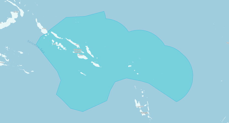
MAERSK TAHITI is currently in the Solomon Islands Exclusive Economic Zone, based on AIS data received less than 1h ago. Track MAERSK TAHITI live using high-quality AIS by registering a free account in ShipAtlas by Maritime Optima.
Track live positionWhat type of vessel is this?
MAERSK TAHITI (IMO 9726451) is a Tanker/Medium range vessel built in 2016 and is sailing under the flag of Singapore. She has an overall length (LOA) of 183 meters and a width (beam) of 32 meters. Her summer deadweight capacity is 49,835 tonnes.
Current voyage information

Register for free to view live position, current speed, draft, course and navigational status.
Last port calls
| Port name | Arrival time | Departure time |
|---|---|---|
|
Vuda (fj)
|
Tuesday 21st July | Wednesday 22nd July |
 Port Vila (vu)
|
Friday 17th July | Saturday 18th July |
 Timaru (nz)
|
Thursday 9th July | Saturday 11th July |
Frequently asked questions
Where is MAERSK TAHITI right now?
The current position of MAERSK TAHITI in the the Solomon Islands Exclusive Economic Zone, last seen less than 1h ago.
What type of vessel is MAERSK TAHITI?
MAERSK TAHITI is a Tanker classified as a Medium range.
How big is MAERSK TAHITI?
MAERSK TAHITI is 183 meters long (LOA) and 32 meters wide (beam).
Vessel details
| Name | MAERSK TAHITI |
| Vessel type | Tanker / Medium range |
| IMO | 9726451 |
| MMSI | 563329200 |
| Callsign | S6UB5 |
| Flag | Singapore |
| Year built | 2016 |
| Draft (summer) | 13.3 meters |
| Deadweight (DWT) | 49,835 tonnes |
| Length overall (LOA) | 183 meters |
| Width (beam) | 32 meters |


