
BOY JOHN INS 110
/ Fishing, IMO 9698044
Where is the vessel?
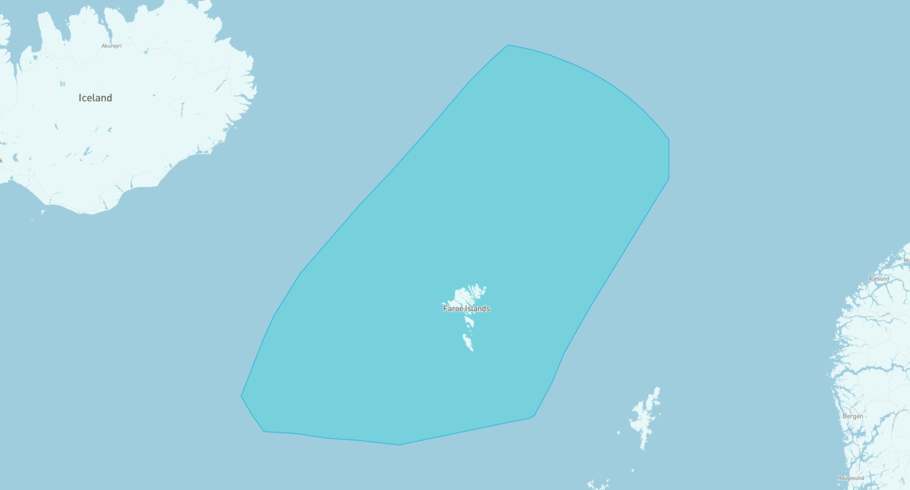
BOY JOHN INS 110 is currently in the Danish Exclusive Economic Zone (Faeroe Islands), based on AIS data received more than 12h ago. Track BOY JOHN INS 110 live using high-quality AIS by registering a free account in ShipAtlas by Maritime Optima.
Track live positionWhat type of vessel is this?
BOY JOHN INS 110 (IMO 9698044) is a /Fishing vessel built in 2014 and is sailing under the flag of United Kingdom. She has an overall length (LOA) of 26 meters and a width (beam) of 8 meters. Her summer deadweight capacity is unknown.
Current voyage information
Register for free to view live position, current speed, draft, course and navigational status.
Last port calls
| Port name | Arrival time | Departure time |
|---|---|---|
|
Peterhead (gb)
|
Tuesday 21st July | Tuesday 21st July |
|
Peterhead (gb)
|
Sunday 12th July | Sunday 12th July |
|
Peterhead (gb)
|
Thursday 2nd July | Friday 3rd July |
Frequently asked questions
Where is BOY JOHN INS 110 right now?
The current position of BOY JOHN INS 110 in the the Danish Exclusive Economic Zone (Faeroe Islands), last seen more than 12h ago.
What type of vessel is BOY JOHN INS 110?
BOY JOHN INS 110 is a classified as a Fishing.
How big is BOY JOHN INS 110?
BOY JOHN INS 110 is 26 meters long (LOA) and 8 meters wide (beam).
Vessel details
| Name | BOY JOHN INS 110 |
| Vessel type | / Fishing |
| IMO | 9698044 |
| MMSI | 235108172 |
| Callsign | 2IAU2 |
| Flag | United Kingdom |
| Year built | 2014 |
| Length overall (LOA) | 26 meters |
| Width (beam) | 8 meters |


