
NOR NAOMI
Oil service / Subsea, IMO 9689251
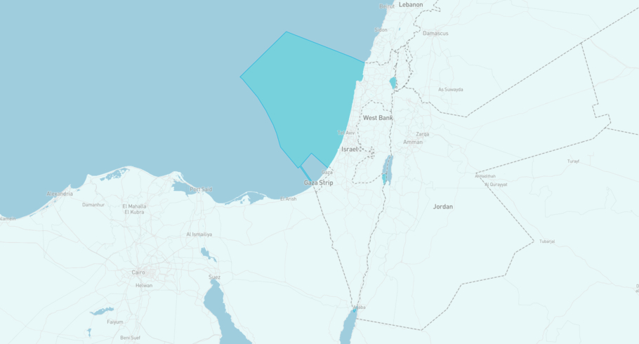
Where is the vessel?
NOR NAOMI is currently in the Israeli Exclusive Economic Zone, based on AIS data received less than 1h ago. Track NOR NAOMI live using high-quality AIS by registering a free account in ShipAtlas by Maritime Optima.
Track live positionWhat type of vessel is this?
NOR NAOMI (IMO 9689251) is a Oil service/Subsea vessel built in 2017 and is sailing under the flag of Marshall Islands. She has an overall length (LOA) of 86 meters and a width (beam) of 20 meters. Her summer deadweight capacity is 4,797 tonnes.
Current voyage information
Register for free to view live position, current speed, draft, course and navigational status.
Last port calls
| Port name | Arrival time | Departure time |
|---|---|---|
 Leviathan Gas Field (il)
|
Thursday 23rd July | Sunday 26th July |
|
Tamar Gas Field (il)
|
Friday 17th July | Tuesday 21st July |
 Limassol (cy)
|
Sunday 12th July | Tuesday 14th July |
Frequently asked questions
Where is NOR NAOMI right now?
The current position of NOR NAOMI in the the Israeli Exclusive Economic Zone, last seen less than 1h ago.
What type of vessel is NOR NAOMI?
NOR NAOMI is a Oil service classified as a Subsea.
How big is NOR NAOMI?
NOR NAOMI is 86 meters long (LOA) and 20 meters wide (beam).
Vessel details
| Name | NOR NAOMI |
| Vessel type | Oil service / Subsea |
| IMO | 9689251 |
| MMSI | 538007432 |
| Callsign | V7NL5 |
| Flag | Marshall Islands |
| Year built | 2017 |
| Draft (summer) | 6.7 meters |
| Deadweight (DWT) | 4,797 tonnes |
| Length overall (LOA) | 86 meters |
| Width (beam) | 20 meters |


