
THE HARMONY
Dry bulk / Kamsarmax, IMO 9643154
Where is the vessel?
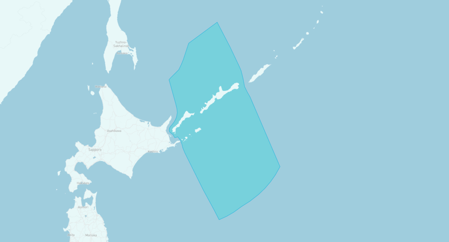
THE HARMONY is currently in the Overlapping claim Kuril Islands: Japan / Russia, based on AIS data received less than 1h ago. Track THE HARMONY live using high-quality AIS by registering a free account in ShipAtlas by Maritime Optima.
Track live positionWhat type of vessel is this?
THE HARMONY (IMO 9643154) is a Dry bulk/Kamsarmax vessel built in 2013 and is sailing under the flag of Liberia. She has an overall length (LOA) of 229 meters and a width (beam) of 32 meters. Her summer deadweight capacity is 82,986 tonnes.
Current voyage information


Register for free to view live position, current speed, draft, course and navigational status.
Last port calls
| Port name | Arrival time | Departure time |
|---|---|---|
|
Gwangyang (kr)
|
Friday 17th July | Monday 20th July |
 Kariangau (id)
|
Sunday 28th June | Thursday 2nd July |
 Qinzhou (cn)
|
Friday 19th June | Monday 22nd June |
Frequently asked questions
Where is THE HARMONY right now?
The current position of THE HARMONY in the the Overlapping claim Kuril Islands: Japan / Russia, last seen less than 1h ago.
What type of vessel is THE HARMONY?
THE HARMONY is a Dry bulk classified as a Kamsarmax.
How big is THE HARMONY?
THE HARMONY is 229 meters long (LOA) and 32 meters wide (beam).
Vessel details
| Name | THE HARMONY |
| Vessel type | Dry bulk / Kamsarmax |
| IMO | 9643154 |
| MMSI | 636026467 |
| Callsign | A8WE5 |
| Flag | Liberia |
| Year built | 2013 |
| Draft (summer) | 14.648 meters |
| Deadweight (DWT) | 82,986 tonnes |
| Length overall (LOA) | 229 meters |
| Width (beam) | 32 meters |


