
CAP ANDREAS
Container / Post Panamax, IMO 9629445
Where is the vessel?
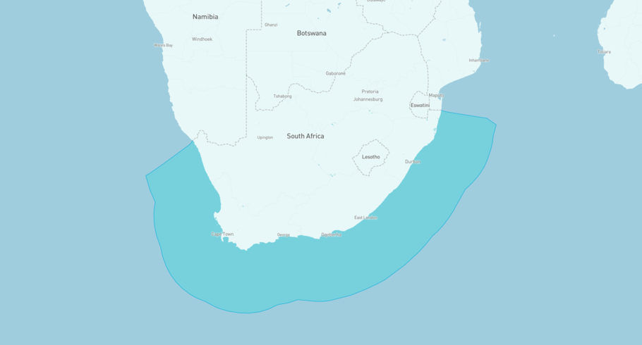
CAP ANDREAS is currently in the South African Exclusive Economic Zone, based on AIS data received more than 12h ago. Track CAP ANDREAS live using high-quality AIS by registering a free account in ShipAtlas by Maritime Optima.
Track live positionWhat type of vessel is this?
CAP ANDREAS (IMO 9629445) is a Container/Post Panamax vessel built in 2013 and is sailing under the flag of Liberia. She has an overall length (LOA) of 271 meters and a width (beam) of 43 meters. Her summer deadweight capacity is 80,547 tonnes.
Current voyage information

Register for free to view live position, current speed, draft, course and navigational status.
Last port calls
| Port name | Arrival time | Departure time |
|---|---|---|
|
Durban (za)
|
Thursday 16th July | Monday 20th July |
 Singapore (sg)
|
Thursday 2nd July | Saturday 4th July |
 Hong Kong (hk)
|
Thursday 25th June | Friday 26th June |
Frequently asked questions
Where is CAP ANDREAS right now?
The current position of CAP ANDREAS in the the South African Exclusive Economic Zone, last seen more than 12h ago.
What type of vessel is CAP ANDREAS?
CAP ANDREAS is a Container classified as a Post Panamax.
How big is CAP ANDREAS?
CAP ANDREAS is 271 meters long (LOA) and 43 meters wide (beam).
Vessel details
| Name | CAP ANDREAS |
| Vessel type | Container / Post Panamax |
| IMO | 9629445 |
| MMSI | 636016126 |
| Callsign | D5EP5 |
| Flag | Liberia |
| Year built | 2013 |
| Draft (summer) | 14.568 meters |
| Deadweight (DWT) | 80,547 tonnes |
| Length overall (LOA) | 271 meters |
| Width (beam) | 43 meters |


