
DOMINGUE TIDE
Oil service / AHTS, IMO 9625164
Where is the ship?
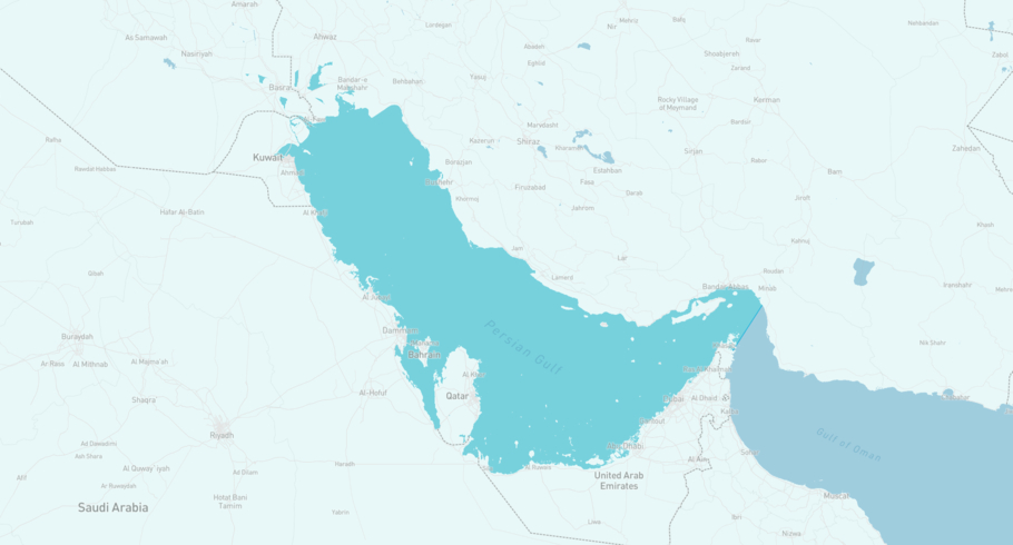
DOMINGUE TIDE is currently in the Arabian Gulf, based on AIS data received less than 1h ago. Track DOMINGUE TIDE live using high-quality AIS by registering a free account in ShipAtlas by Maritime Optima.
Track live positionWhat type of ship is this?
DOMINGUE TIDE (IMO 9625164) is a Oil service/AHTS ship built in 2011 and is sailing under the flag of Vanuatu. She has an overall length (LOA) of 59 meters and a width (beam) of 14 meters. Her summer deadweight capacity is 1,309 tonnes.
Current voyage information
Register for free to view live position, current speed, draft, course and navigational status.
Last port calls
| Port name | Arrival time | Departure time |
|---|---|---|
 Marjan Field (sa)
|
Tuesday 5th August | Thursday 21st August |
|
Rawabi Integrity FPSO (sa)
|
Thursday 31st July | Friday 1st August |
|
Ad Dammam (sa)
|
Monday 14th July | Friday 25th July |
Frequently asked questions
Where is DOMINGUE TIDE right now?
The current position of DOMINGUE TIDE in the the Arabian Gulf, last seen less than 1h ago.
What type of ship is DOMINGUE TIDE?
DOMINGUE TIDE is a Oil service classified as a AHTS.
How big is DOMINGUE TIDE?
DOMINGUE TIDE is 59 meters long (LOA) and 14 meters wide (beam).
Vessel details
| Name | DOMINGUE TIDE |
| Vessel type | Oil service / AHTS |
| IMO | 9625164 |
| MMSI | 577001000 |
| Callsign | YJRP8 |
| Flag | Vanuatu |
| Year built | 2011 |
| Deadweight (DWT) | 1,309 tonnes |
| Length overall (LOA) | 59 meters |
| Width (beam) | 14 meters |


