
AM POWER
Oil service / PSV, IMO 9579200
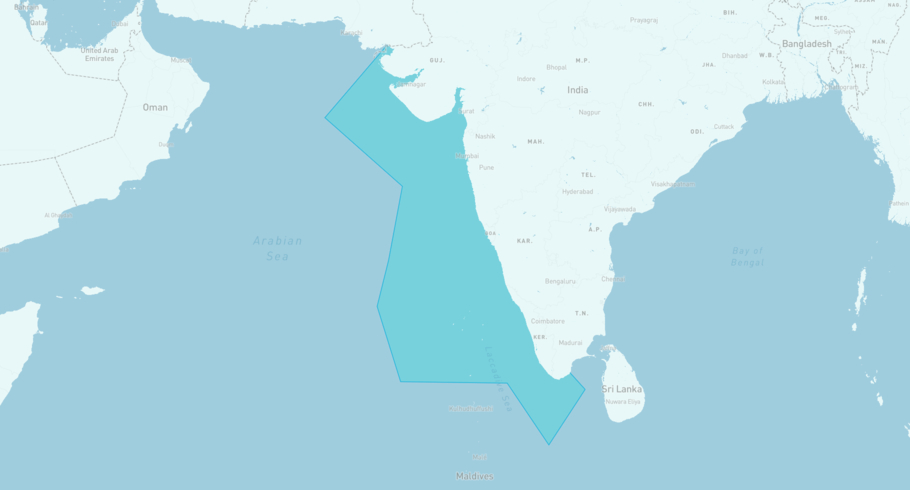
Where is the vessel?
AM POWER is currently in the West Coast India, based on AIS data received less than 1h ago. Track AM POWER live using high-quality AIS by registering a free account in ShipAtlas by Maritime Optima.
Track live positionWhat type of vessel is this?
AM POWER (IMO 9579200) is a Oil service/PSV vessel built in 2010 and is sailing under the flag of Marshall Islands. She has an overall length (LOA) of 75 meters and a width (beam) of 15 meters. Her summer deadweight capacity is 3,467 tonnes.
Current voyage information

Register for free to view live position, current speed, draft, course and navigational status.
Last port calls
| Port name | Arrival time | Departure time |
|---|---|---|
|
Mumbai (in)
|
Thursday 16th July | Sunday 19th July |
|
Panna Mukta Field (in)
|
Wednesday 8th July | Wednesday 8th July |
|
Mumbai (in)
|
Friday 3rd July | Saturday 4th July |
Frequently asked questions
Where is AM POWER right now?
The current position of AM POWER in the the West Coast India, last seen less than 1h ago.
What type of vessel is AM POWER?
AM POWER is a Oil service classified as a PSV.
How big is AM POWER?
AM POWER is 75 meters long (LOA) and 15 meters wide (beam).
Vessel details
| Name | AM POWER |
| Vessel type | Oil service / PSV |
| IMO | 9579200 |
| MMSI | 538011038 |
| Callsign | V7A6491 |
| Flag | Marshall Islands |
| Year built | 2010 |
| Draft (summer) | 5.79 meters |
| Deadweight (DWT) | 3,467 tonnes |
| Length overall (LOA) | 75 meters |
| Width (beam) | 15 meters |


