
PANOFI PATH FINDER
/ Fishing, IMO 9568861
Where is the vessel?
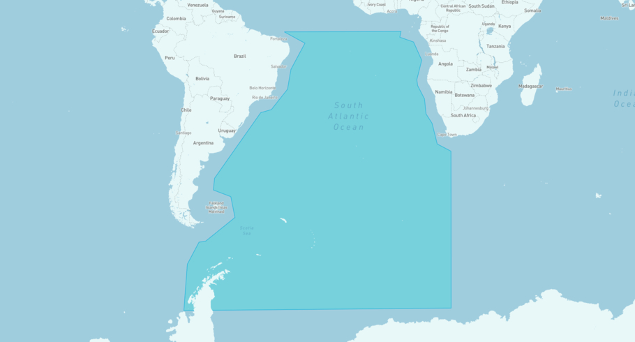
PANOFI PATH FINDER is currently in the South Atlantic Open Water, based on AIS data received more than 12h ago. Track PANOFI PATH FINDER live using high-quality AIS by registering a free account in ShipAtlas by Maritime Optima.
Track live positionWhat type of vessel is this?
PANOFI PATH FINDER (IMO 9568861) is a /Fishing vessel built in 2009 and is sailing under the flag of Ghana. She has an overall length (LOA) of 70 meters and a width (beam) of 12 meters. Her summer deadweight capacity is unknown.
Current voyage information
Register for free to view live position, current speed, draft, course and navigational status.
Last port calls
| Port name | Arrival time | Departure time |
|---|---|---|
|
Tema (gh)
|
Sunday 5th July | Friday 10th July |
|
Tema (gh)
|
Sunday 7th June | Thursday 11th June |
|
Tema (gh)
|
Thursday 16th April | Thursday 30th April |
Frequently asked questions
Where is PANOFI PATH FINDER right now?
The current position of PANOFI PATH FINDER in the the South Atlantic Open Water, last seen more than 12h ago.
What type of vessel is PANOFI PATH FINDER?
PANOFI PATH FINDER is a classified as a Fishing.
How big is PANOFI PATH FINDER?
PANOFI PATH FINDER is 70 meters long (LOA) and 12 meters wide (beam).
Vessel details
| Name | PANOFI PATH FINDER |
| Vessel type | / Fishing |
| IMO | 9568861 |
| MMSI | 627073000 |
| Callsign | 9GIK |
| Flag | Ghana |
| Year built | 2009 |
| Length overall (LOA) | 70 meters |
| Width (beam) | 12 meters |


