Current voyage information

Register for free to view current speed, draft, course and navigational status.
Last port calls
| Port name | Arrival time | Departure time |
|---|---|---|
|
Nantong (cn)
|
Saturday 5th October | Tuesday 15th October |
 Tokachi (jp)
|
Friday 27th September | Tuesday 1st October |
|
Tomakomai (jp)
|
Friday 20th September | Wednesday 25th September |
Frequently asked questions
Where is POWER GLOBE right now?
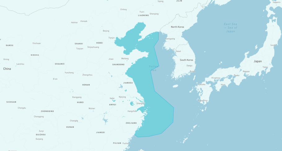
The current position of POWER GLOBE in the the North China, last seen more than 12h ago.
What type of ship is POWER GLOBE?
POWER GLOBE is a Dry bulk classified as a Kamsarmax.
How big is POWER GLOBE?
POWER GLOBE is 225 meters long (LOA) and 32 meters wide (beam).

POWER GLOBE
Dry bulk / Kamsarmax, IMO 9479319
POWER GLOBE is currently in the North China, last seen more than 12h ago
View live positionThe vessel was built in 2011, and is sailing under the flag of Marshall Islands. Her length overall (LOA) is 225 meters, and her width (beam) is 32 meters. Her summer deadweight capacity is 80,655 tonnes.
Track the live position of POWER GLOBE with AIS data from satellites, terrestrial and dynamic AIS sources. Get global coverage and live positions for all ships by registering a free account in ShipAtlas by Maritime Optima.
Register a free accountVessel details
| Name | POWER GLOBE |
| Vessel type | Dry bulk / Kamsarmax |
| IMO | 9479319 |
| MMSI | 538009524 |
| Callsign | V7A4846 |
| Flag | Marshall Islands |
| Year built | 2011 |
| Draft (summer) | 14.38 meters |
| Length overall (LOA) | 225 meters |
| Width (beam) | 32 meters |
| Deadweight (DWT) | 80,655 tonnes |


