
SM TIANJIN
Container / Panamax, IMO 9464704
Where is the vessel?
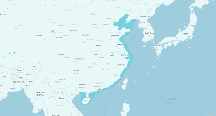
SM TIANJIN is currently in the China, based on AIS data received less than 1h ago. Track SM TIANJIN live using high-quality AIS by registering a free account in ShipAtlas by Maritime Optima.
Track live positionWhat type of vessel is this?
SM TIANJIN (IMO 9464704) is a Container/Panamax vessel built in 2010 and is sailing under the flag of Republic of Korea. She has an overall length (LOA) of 260 meters and a width (beam) of 32 meters. Her summer deadweight capacity is 54,344 tonnes.
Current voyage information

Register for free to view live position, current speed, draft, course and navigational status.
Last port calls
| Port name | Arrival time | Departure time |
|---|---|---|
|
Shanghai (cn)
|
Saturday 18th July | Thursday 30th July |
|
Ningbo (cn)
|
Friday 17th July | Friday 17th July |
|
Busan New Port (kr)
|
Tuesday 14th July | Tuesday 14th July |
Frequently asked questions
Where is SM TIANJIN right now?
The current position of SM TIANJIN in the the China, last seen less than 1h ago.
What type of vessel is SM TIANJIN?
SM TIANJIN is a Container classified as a Panamax.
How big is SM TIANJIN?
SM TIANJIN is 260 meters long (LOA) and 32 meters wide (beam).
Vessel details
| Name | SM TIANJIN |
| Vessel type | Container / Panamax |
| IMO | 9464704 |
| MMSI | 440111000 |
| Callsign | D7DG |
| Flag | Republic of Korea |
| Year built | 2010 |
| Draft (summer) | 12.62 meters |
| Deadweight (DWT) | 54,344 tonnes |
| Length overall (LOA) | 260 meters |
| Width (beam) | 32 meters |


