
HIGH TIDE
Tanker / Panamax (LR 1), IMO 9455820
Where is the vessel?
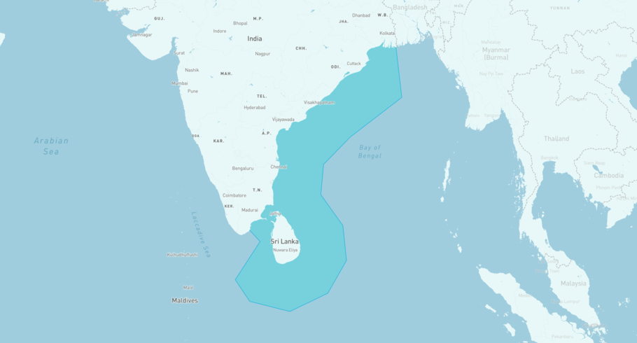
HIGH TIDE is currently in the East Coast India, based on AIS data received less than 1h ago. Track HIGH TIDE live using high-quality AIS by registering a free account in ShipAtlas by Maritime Optima.
Track live positionWhat type of vessel is this?
HIGH TIDE (IMO 9455820) is a Tanker/Panamax (LR 1) vessel built in 2012 and is sailing under the flag of Liberia. She has an overall length (LOA) of 183 meters and a width (beam) of 32 meters. Her summer deadweight capacity is 51,768 tonnes.
Current voyage information

Register for free to view live position, current speed, draft, course and navigational status.
Last port calls
| Port name | Arrival time | Departure time |
|---|---|---|
|
Visakhapatnam (in)
|
Saturday 25th July | Thursday 30th July |
|
Ennore (in)
|
Wednesday 22nd July | Thursday 23rd July |
|
Sika (in)
|
Tuesday 14th July | Thursday 16th July |
Frequently asked questions
Where is HIGH TIDE right now?
The current position of HIGH TIDE in the the East Coast India, last seen less than 1h ago.
What type of vessel is HIGH TIDE?
HIGH TIDE is a Tanker classified as a Panamax (LR 1).
How big is HIGH TIDE?
HIGH TIDE is 183 meters long (LOA) and 32 meters wide (beam).
Vessel details
| Name | HIGH TIDE |
| Vessel type | Tanker / Panamax (LR 1) |
| IMO | 9455820 |
| MMSI | 636015337 |
| Callsign | D5AA7 |
| Flag | Liberia |
| Year built | 2012 |
| Draft (summer) | 13.315 meters |
| Deadweight (DWT) | 51,768 tonnes |
| Length overall (LOA) | 183 meters |
| Width (beam) | 32 meters |


