
COLUMBIA HIGHWAY
Car carrier / Large, IMO 9442873
Where is the vessel?
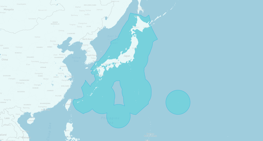
COLUMBIA HIGHWAY is currently in the Japanese Exclusive Economic Zone, based on AIS data received less than 1h ago. Track COLUMBIA HIGHWAY live using high-quality AIS by registering a free account in ShipAtlas by Maritime Optima.
Track live positionWhat type of vessel is this?
COLUMBIA HIGHWAY (IMO 9442873) is a Car carrier/Large vessel built in 2008 and is sailing under the flag of Panama. She has an overall length (LOA) of 199 meters and a width (beam) of 32 meters. Her summer deadweight capacity is 18,930 tonnes.
Current voyage information

Register for free to view live position, current speed, draft, course and navigational status.
Last port calls
| Port name | Arrival time | Departure time |
|---|---|---|
|
Yokkaichi (jp)
|
Thursday 9th July | Friday 10th July |
|
Yokohama (jp)
|
Thursday 9th July | Thursday 9th July |
|
Nagoya (jp)
|
Tuesday 7th July | Wednesday 8th July |
Frequently asked questions
Where is COLUMBIA HIGHWAY right now?
The current position of COLUMBIA HIGHWAY in the the Japanese Exclusive Economic Zone, last seen less than 1h ago.
What type of vessel is COLUMBIA HIGHWAY?
COLUMBIA HIGHWAY is a Car carrier classified as a Large.
How big is COLUMBIA HIGHWAY?
COLUMBIA HIGHWAY is 199 meters long (LOA) and 32 meters wide (beam).
Vessel details
| Name | COLUMBIA HIGHWAY |
| Vessel type | Car carrier / Large |
| IMO | 9442873 |
| MMSI | 371172000 |
| Callsign | 3EQO8 |
| Flag | Panama |
| Year built | 2008 |
| Draft (summer) | 10.017 meters |
| Deadweight (DWT) | 18,930 tonnes |
| Length overall (LOA) | 199 meters |
| Width (beam) | 32 meters |


