
CAPE TEES
Tanker / Panamax (LR 1), IMO 9441180
Where is the ship?
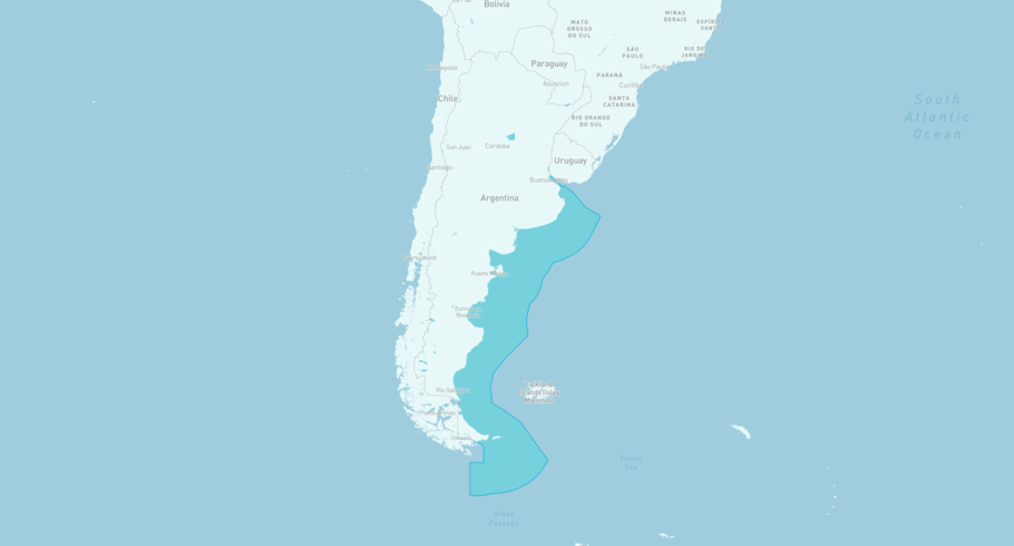
CAPE TEES is currently in the Argentinian Exclusive Economic Zone, based on AIS data received 1h ago. Track CAPE TEES live using high-quality AIS by registering a free account in ShipAtlas by Maritime Optima.
Track live positionWhat type of ship is this?
CAPE TEES (IMO 9441180) is a Tanker/Panamax (LR 1) ship built in 2009 and is sailing under the flag of Marshall Islands. She has an overall length (LOA) of 228 meters and a width (beam) of 32 meters. Her summer deadweight capacity is 73,731 tonnes.
Current voyage information

Register for free to view live position, current speed, draft, course and navigational status.
Last port calls
| Port name | Arrival time | Departure time |
|---|---|---|
|
Rio Cullen (ar)
|
Tuesday 2nd December | Monday 15th December |
|
Punta Loyola (ar)
|
Monday 24th November | Monday 1st December |
|
Bahía Blanca (ar)
|
Wednesday 19th November | Thursday 20th November |
Frequently asked questions
Where is CAPE TEES right now?
The current position of CAPE TEES in the the Argentinian Exclusive Economic Zone, last seen 1h ago.
What type of ship is CAPE TEES?
CAPE TEES is a Tanker classified as a Panamax (LR 1).
How big is CAPE TEES?
CAPE TEES is 228 meters long (LOA) and 32 meters wide (beam).
Vessel details
| Name | CAPE TEES |
| Vessel type | Tanker / Panamax (LR 1) |
| IMO | 9441180 |
| MMSI | 538003549 |
| Callsign | V7RO4 |
| Flag | Marshall Islands |
| Year built | 2009 |
| Draft (summer) | 10.91 meters |
| Deadweight (DWT) | 73,731 tonnes |
| Length overall (LOA) | 228 meters |
| Width (beam) | 32 meters |


