
ANMARE
Dry bulk / Mini bulkers 1, IMO 9434589
Where is the vessel?
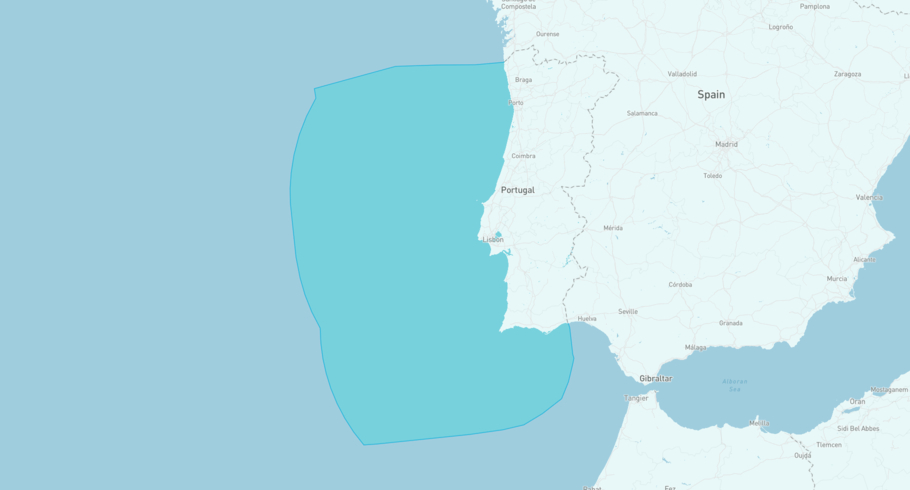
ANMARE is currently in the Portuguese Exclusive Economic Zone, based on AIS data received less than 1h ago. Track ANMARE live using high-quality AIS by registering a free account in ShipAtlas by Maritime Optima.
Track live positionWhat type of vessel is this?
ANMARE (IMO 9434589) is a Dry bulk/Mini bulkers 1 vessel built in 2009 and is sailing under the flag of Antigua and Barbuda. She has an overall length (LOA) of 88 meters and a width (beam) of 13 meters. Her summer deadweight capacity is 3,689 tonnes.
Current voyage information


Register for free to view live position, current speed, draft, course and navigational status.
Last port calls
| Port name | Arrival time | Departure time |
|---|---|---|
|
Lisboa (pt)
|
Friday 19th June | Friday 19th June |
 Hereke (tr)
|
Sunday 7th June | Wednesday 10th June |
|
Eregli (tr)
|
Wednesday 3rd June | Saturday 6th June |
Frequently asked questions
Where is ANMARE right now?
The current position of ANMARE in the the Portuguese Exclusive Economic Zone, last seen less than 1h ago.
What type of vessel is ANMARE?
ANMARE is a Dry bulk classified as a Mini bulkers 1.
How big is ANMARE?
ANMARE is 88 meters long (LOA) and 13 meters wide (beam).
Vessel details
| Name | ANMARE |
| Vessel type | Dry bulk / Mini bulkers 1 |
| IMO | 9434589 |
| MMSI | 305493000 |
| Callsign | V2EO3 |
| Flag | Antigua and Barbuda |
| Year built | 2009 |
| Draft (summer) | 5.498 meters |
| Deadweight (DWT) | 3,689 tonnes |
| Length overall (LOA) | 88 meters |
| Width (beam) | 13 meters |


