
ROXETTE
Dry bulk / Handysize, IMO 9433896
Where is the vessel?
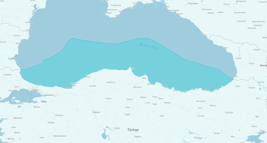
ROXETTE is currently in the Black Sea Turkey, based on AIS data received less than 1h ago. Track ROXETTE live using high-quality AIS by registering a free account in ShipAtlas by Maritime Optima.
Track live positionWhat type of vessel is this?
ROXETTE (IMO 9433896) is a Dry bulk/Handysize vessel built in 2008 and is sailing under the flag of Barbados. She has an overall length (LOA) of 150 meters and a width (beam) of 23 meters. Her summer deadweight capacity is 21,118 tonnes.
Current voyage information


Register for free to view live position, current speed, draft, course and navigational status.
Last port calls
| Port name | Arrival time | Departure time |
|---|---|---|
|
Samsun (tr)
|
Sunday 7th June | Monday 8th June |
|
Yarimca (tr)
|
Tuesday 2nd June | Thursday 4th June |
 Malta Offshore (mt)
|
Friday 29th May | Saturday 30th May |
Frequently asked questions
Where is ROXETTE right now?
The current position of ROXETTE in the the Black Sea Turkey, last seen less than 1h ago.
What type of vessel is ROXETTE?
ROXETTE is a Dry bulk classified as a Handysize.
How big is ROXETTE?
ROXETTE is 150 meters long (LOA) and 23 meters wide (beam).
Vessel details
| Name | ROXETTE |
| Vessel type | Dry bulk / Handysize |
| IMO | 9433896 |
| MMSI | 314935000 |
| Callsign | 8P2429 |
| Flag | Barbados |
| Year built | 2008 |
| Draft (summer) | 9.31 meters |
| Deadweight (DWT) | 21,118 tonnes |
| Length overall (LOA) | 150 meters |
| Width (beam) | 23 meters |


