
NYALA
/ Bunker tanker, IMO 9424223
Where is the vessel?
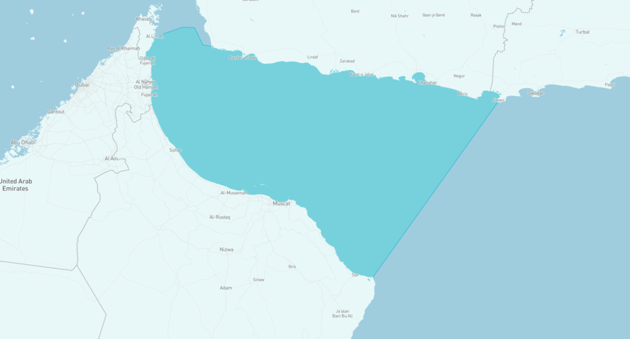
NYALA is currently in the Gulf of Oman, based on AIS data received less than 1h ago. Track NYALA live using high-quality AIS by registering a free account in ShipAtlas by Maritime Optima.
Track live positionWhat type of vessel is this?
NYALA (IMO 9424223) is a /Bunker tanker vessel built in 2007 and is sailing under the flag of Saint Kitts and Nevis. She has an overall length (LOA) of 126 meters and a width (beam) of 19 meters. Her summer deadweight capacity is 11,276 tonnes.
Current voyage information

Register for free to view live position, current speed, draft, course and navigational status.
Last port calls
| Port name | Arrival time | Departure time |
|---|---|---|
|
Shinas (om)
|
Thursday 11th June | Wednesday 17th June |
 Musaffah (ae)
|
Wednesday 10th June | Thursday 11th June |
 Kandla (in)
|
Wednesday 3rd June | Saturday 6th June |
Frequently asked questions
Where is NYALA right now?
The current position of NYALA in the the Gulf of Oman, last seen less than 1h ago.
What type of vessel is NYALA?
NYALA is a classified as a Bunker tanker.
How big is NYALA?
NYALA is 126 meters long (LOA) and 19 meters wide (beam).
Vessel details
| Name | NYALA |
| Vessel type | / Bunker tanker |
| IMO | 9424223 |
| MMSI | 341581000 |
| Callsign | V4TX4 |
| Flag | Saint Kitts and Nevis |
| Year built | 2007 |
| Draft (summer) | 8 meters |
| Deadweight (DWT) | 11,276 tonnes |
| Length overall (LOA) | 126 meters |
| Width (beam) | 19 meters |


