
MAGIC STAR
Tanker / Handy, IMO 9420253
Where is the vessel?
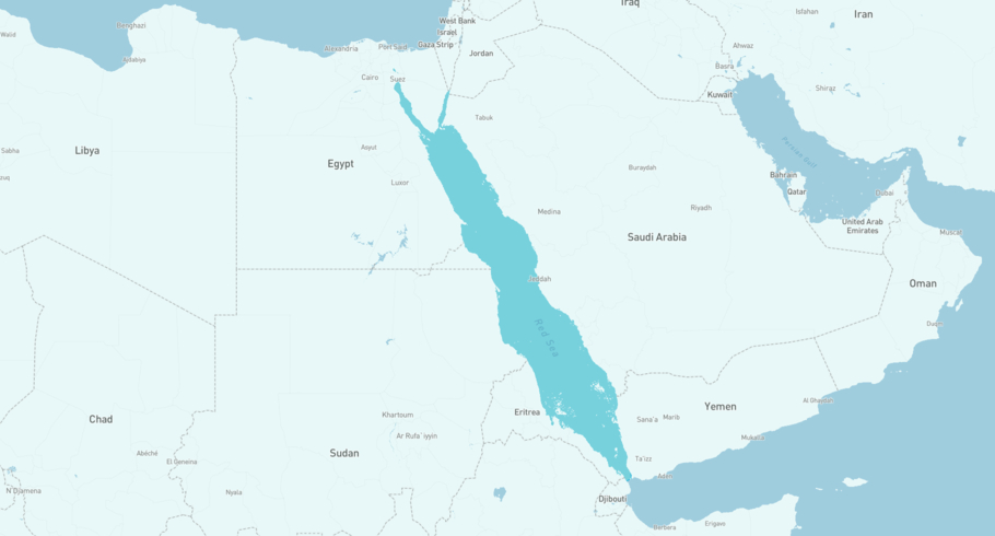
MAGIC STAR is currently in the Red Sea, based on AIS data received more than 12h ago. Track MAGIC STAR live using high-quality AIS by registering a free account in ShipAtlas by Maritime Optima.
Track live positionWhat type of vessel is this?
MAGIC STAR (IMO 9420253) is a Tanker/Handy vessel built in 2009 and is sailing under the flag of Marshall Islands. She has an overall length (LOA) of 183 meters and a width (beam) of 27 meters. Her summer deadweight capacity is 38,423 tonnes.
Current voyage information

Register for free to view live position, current speed, draft, course and navigational status.
Last port calls
| Port name | Arrival time | Departure time |
|---|---|---|
|
Jeddah (sa)
|
Tuesday 21st July | Thursday 23rd July |
|
Yanbu (sa)
|
Thursday 16th July | Saturday 18th July |
|
Jeddah (sa)
|
Monday 13th July | Wednesday 15th July |
Frequently asked questions
Where is MAGIC STAR right now?
The current position of MAGIC STAR in the the Red Sea, last seen more than 12h ago.
What type of vessel is MAGIC STAR?
MAGIC STAR is a Tanker classified as a Handy.
How big is MAGIC STAR?
MAGIC STAR is 183 meters long (LOA) and 27 meters wide (beam).
Vessel details
| Name | MAGIC STAR |
| Vessel type | Tanker / Handy |
| IMO | 9420253 |
| MMSI | 538003460 |
| Callsign | V7QX7 |
| Flag | Marshall Islands |
| Year built | 2009 |
| Draft (summer) | 11.617 meters |
| Deadweight (DWT) | 38,423 tonnes |
| Length overall (LOA) | 183 meters |
| Width (beam) | 27 meters |


