
AFRA MARE
Tanker / Aframax (LR 2), IMO 9404936
Where is the vessel?
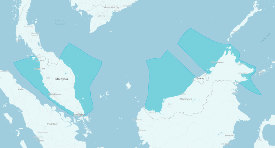
AFRA MARE is currently in the Malaysian Exclusive Economic Zone, based on AIS data received less than 1h ago. Track AFRA MARE live using high-quality AIS by registering a free account in ShipAtlas by Maritime Optima.
Track live positionWhat type of vessel is this?
AFRA MARE (IMO 9404936) is a Tanker/Aframax (LR 2) vessel built in 2008 and is sailing under the flag of Marshall Islands. She has an overall length (LOA) of 244 meters and a width (beam) of 42 meters. Her summer deadweight capacity is 105,348 tonnes.
Current voyage information
Register for free to view live position, current speed, draft, course and navigational status.
Last port calls
| Port name | Arrival time | Departure time |
|---|---|---|
 Singapore (sg)
|
Saturday 18th July | Monday 20th July |
 Tanjung Pelepas (my)
|
Wednesday 15th July | Saturday 18th July |
 Sika (in)
|
Thursday 25th June | Monday 6th July |
Frequently asked questions
Where is AFRA MARE right now?
The current position of AFRA MARE in the the Malaysian Exclusive Economic Zone, last seen less than 1h ago.
What type of vessel is AFRA MARE?
AFRA MARE is a Tanker classified as a Aframax (LR 2).
How big is AFRA MARE?
AFRA MARE is 244 meters long (LOA) and 42 meters wide (beam).
Vessel details
| Name | AFRA MARE |
| Vessel type | Tanker / Aframax (LR 2) |
| IMO | 9404936 |
| MMSI | 538012904 |
| Callsign | V7B3475 |
| Flag | Marshall Islands |
| Year built | 2008 |
| Draft (summer) | 15.021 meters |
| Deadweight (DWT) | 105,348 tonnes |
| Length overall (LOA) | 244 meters |
| Width (beam) | 42 meters |


