
RMS MEL
Container / Feeder 1, IMO 9387607
Where is the ship?
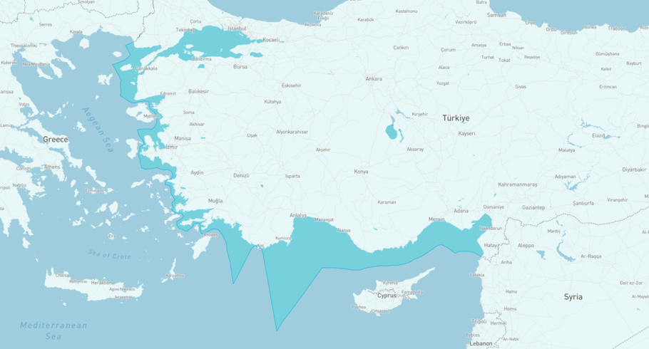
RMS MEL is currently in the Turkish MED, based on AIS data received 3h ago. Track RMS MEL live using high-quality AIS by registering a free account in ShipAtlas by Maritime Optima.
Track live positionWhat type of ship is this?
RMS MEL (IMO 9387607) is a Container/Feeder 1 ship built in 2008 and is sailing under the flag of Barbados. She has an overall length (LOA) of 409 meters and a width (beam) of 25 meters. Her summer deadweight capacity is 8,165 tonnes.
Current voyage information

Register for free to view live position, current speed, draft, course and navigational status.
Last port calls
| Port name | Arrival time | Departure time |
|---|---|---|
|
Mersin (tr)
|
Wednesday 17th December | Thursday 18th December |
|
Istanbul (tr)
|
Friday 14th November | Saturday 15th November |
 Novorossiysk (ru)
|
Saturday 1st November | Saturday 1st November |
Frequently asked questions
Where is RMS MEL right now?
The current position of RMS MEL in the the Turkish MED, last seen 3h ago.
What type of ship is RMS MEL?
RMS MEL is a Container classified as a Feeder 1.
How big is RMS MEL?
RMS MEL is 409 meters long (LOA) and 25 meters wide (beam).
Vessel details
| Name | RMS MEL |
| Vessel type | Container / Feeder 1 |
| IMO | 9387607 |
| MMSI | 314747000 |
| Callsign | 8PLO9 |
| Flag | Barbados |
| Year built | 2008 |
| Draft (summer) | 7.4 meters |
| Deadweight (DWT) | 8,165 tonnes |
| Length overall (LOA) | 409 meters |
| Width (beam) | 25 meters |


