
GULF MUTTRAH
Tanker / Medium range, IMO 9381835
Where is the vessel?
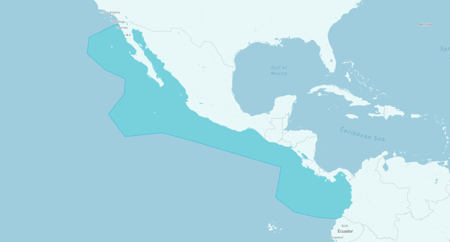
GULF MUTTRAH is currently in the West Coast Central America, based on AIS data received less than 1h ago. Track GULF MUTTRAH live using high-quality AIS by registering a free account in ShipAtlas by Maritime Optima.
Track live positionWhat type of vessel is this?
GULF MUTTRAH (IMO 9381835) is a Tanker/Medium range vessel built in 2009 and is sailing under the flag of Bahamas. She has an overall length (LOA) of 183 meters and a width (beam) of 32 meters. Her summer deadweight capacity is 46,556 tonnes.
Current voyage information


Register for free to view live position, current speed, draft, course and navigational status.
Last port calls
| Port name | Arrival time | Departure time |
|---|---|---|
|
Port Moody (ca)
|
Tuesday 14th July | Friday 17th July |
 Portland (OR) (us)
|
Saturday 4th July | Monday 6th July |
|
Long Beach (us)
|
Saturday 27th June | Sunday 28th June |
Frequently asked questions
Where is GULF MUTTRAH right now?
The current position of GULF MUTTRAH in the the West Coast Central America, last seen less than 1h ago.
What type of vessel is GULF MUTTRAH?
GULF MUTTRAH is a Tanker classified as a Medium range.
How big is GULF MUTTRAH?
GULF MUTTRAH is 183 meters long (LOA) and 32 meters wide (beam).
Vessel details
| Name | GULF MUTTRAH |
| Vessel type | Tanker / Medium range |
| IMO | 9381835 |
| MMSI | 311015200 |
| Callsign | C6XN7 |
| Flag | Bahamas |
| Year built | 2009 |
| Draft (summer) | 12.2 meters |
| Deadweight (DWT) | 46,556 tonnes |
| Length overall (LOA) | 183 meters |
| Width (beam) | 32 meters |


