
AL HAMLA
LNG / Very large, IMO 9337743
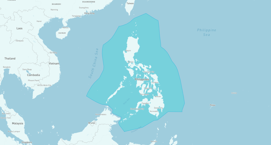
Where is the ship?
AL HAMLA is currently in the Philippine Exclusive Economic Zone, based on AIS data received less than 1h ago. Track AL HAMLA live using high-quality AIS by registering a free account in ShipAtlas by Maritime Optima.
Track live positionWhat type of ship is this?
AL HAMLA (IMO 9337743) is a LNG/Very large ship built in 2008 and is sailing under the flag of Marshall Islands. She has an overall length (LOA) of 315 meters and a width (beam) of 50 meters. Her summer deadweight capacity is 106,983 tonnes.
Current voyage information


Register for free to view live position, current speed, draft, course and navigational status.
Last port calls
| Port name | Arrival time | Departure time |
|---|---|---|
|
Ras Laffan (qa)
|
Friday 28th November | Sunday 30th November |
 London Gateway Port (gb)
|
Saturday 25th October | Tuesday 28th October |
|
Southwold (gb)
|
Thursday 23rd October | Friday 24th October |
Frequently asked questions
Where is AL HAMLA right now?
The current position of AL HAMLA in the the Philippine Exclusive Economic Zone, last seen less than 1h ago.
What type of ship is AL HAMLA?
AL HAMLA is a LNG classified as a Very large.
How big is AL HAMLA?
AL HAMLA is 315 meters long (LOA) and 50 meters wide (beam).
Vessel details
| Name | AL HAMLA |
| Vessel type | LNG / Very large |
| IMO | 9337743 |
| MMSI | 538002922 |
| Callsign | V7MX9 |
| Flag | Marshall Islands |
| Year built | 2008 |
| Draft (summer) | 12 meters |
| Deadweight (DWT) | 106,983 tonnes |
| Length overall (LOA) | 315 meters |
| Width (beam) | 50 meters |


