
PUSHPA
Tanker / Aframax (LR 2), IMO 9332810
Where is the ship?
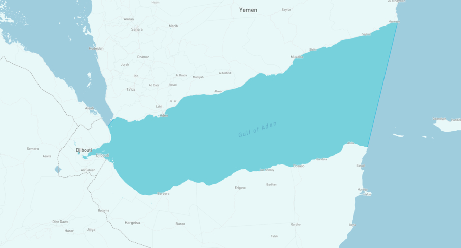
PUSHPA is currently in the Gulf of Aden, based on AIS data received less than 1h ago. Track PUSHPA live using high-quality AIS by registering a free account in ShipAtlas by Maritime Optima.
Track live positionWhat type of ship is this?
PUSHPA (IMO 9332810) is a Tanker/Aframax (LR 2) ship built in 2007 and is sailing under the flag of Malawi. She has an overall length (LOA) of 244 meters and a width (beam) of 43 meters. Her summer deadweight capacity is 115,577 tonnes.
Current voyage information


Register for free to view live position, current speed, draft, course and navigational status.
Last port calls
| Port name | Arrival time | Departure time |
|---|---|---|
|
Vadinar (in)
|
Sunday 3rd August | Thursday 7th August |
|
As Suways (Suez) (eg)
|
Tuesday 22nd July | Wednesday 23rd July |
|
Port Said (eg)
|
Monday 21st July | Tuesday 22nd July |
Frequently asked questions
Where is PUSHPA right now?
The current position of PUSHPA in the the Gulf of Aden, last seen less than 1h ago.
What type of ship is PUSHPA?
PUSHPA is a Tanker classified as a Aframax (LR 2).
How big is PUSHPA?
PUSHPA is 244 meters long (LOA) and 43 meters wide (beam).
Vessel details
| Name | PUSHPA |
| Vessel type | Tanker / Aframax (LR 2) |
| IMO | 9332810 |
| MMSI | 655898000 |
| Callsign | 7QA800 |
| Flag | Malawi |
| Year built | 2007 |
| Draft (summer) | 15.62 meters |
| Deadweight (DWT) | 115,577 tonnes |
| Length overall (LOA) | 244 meters |
| Width (beam) | 43 meters |


