
KESTREL
Tanker / Panamax (LR 1), IMO 9330355
Where is the ship?
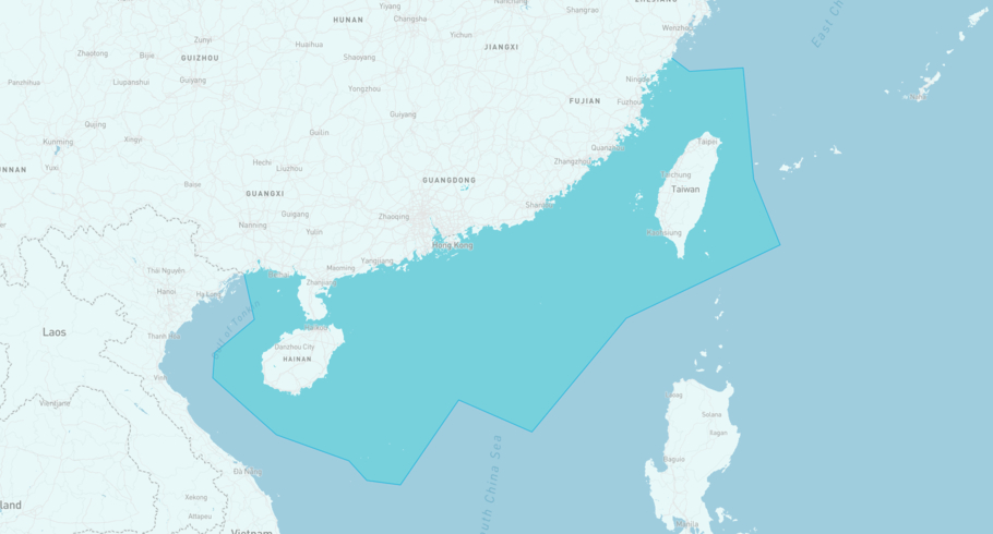
KESTREL is currently in the South China, incl. Taiwan, based on AIS data received 1h ago. Track KESTREL live using high-quality AIS by registering a free account in ShipAtlas by Maritime Optima.
Track live positionWhat type of ship is this?
KESTREL (IMO 9330355) is a Tanker/Panamax (LR 1) ship built in 2006 and is sailing under the flag of San Marino. She has an overall length (LOA) of 228 meters and a width (beam) of 32 meters. Her summer deadweight capacity is 73,869 tonnes.
Current voyage information
Register for free to view live position, current speed, draft, course and navigational status.
Last port calls
| Port name | Arrival time | Departure time |
|---|---|---|
 Singapore Eastern OPL (sg)
|
Sunday 23rd November | Monday 1st December |
 Batam (id)
|
Saturday 22nd November | Sunday 23rd November |
 Pasir Gudang (my)
|
Saturday 15th November | Saturday 22nd November |
Frequently asked questions
Where is KESTREL right now?
The current position of KESTREL in the the South China, incl. Taiwan, last seen 1h ago.
What type of ship is KESTREL?
KESTREL is a Tanker classified as a Panamax (LR 1).
How big is KESTREL?
KESTREL is 228 meters long (LOA) and 32 meters wide (beam).
Vessel details
| Name | KESTREL |
| Vessel type | Tanker / Panamax (LR 1) |
| IMO | 9330355 |
| MMSI | 268254004 |
| Callsign | T7DK6 |
| Flag | San Marino |
| Year built | 2006 |
| Draft (summer) | 14.468 meters |
| Deadweight (DWT) | 73,869 tonnes |
| Length overall (LOA) | 228 meters |
| Width (beam) | 32 meters |


