
SKYWAVE
Tanker / VLCC, IMO 9328716
Where is the vessel?
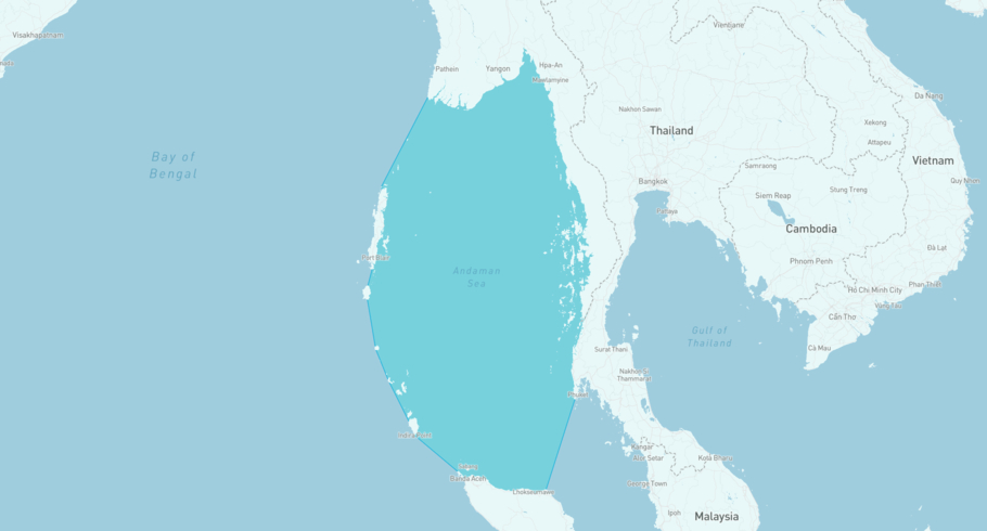
SKYWAVE is currently in the Andaman Sea, based on AIS data received less than 1h ago. Track SKYWAVE live using high-quality AIS by registering a free account in ShipAtlas by Maritime Optima.
Track live positionWhat type of vessel is this?
SKYWAVE (IMO 9328716) is a Tanker/VLCC vessel built in 2005 and is sailing under the flag of Botswana. She has an overall length (LOA) of 333 meters and a width (beam) of 60 meters. Her summer deadweight capacity is 302,481 tonnes.
Current voyage information
Register for free to view live position, current speed, draft, course and navigational status.
Last port calls
| Port name | Arrival time | Departure time |
|---|---|---|
 Fujayrah (ae)
|
Tuesday 11th November | Tuesday 10th March |
 Singapore Eastern OPL (sg)
|
Tuesday 7th October | Monday 27th October |
|
Fujayrah (ae)
|
Saturday 20th September | Sunday 21st September |
Frequently asked questions
Where is SKYWAVE right now?
The current position of SKYWAVE in the the Andaman Sea, last seen less than 1h ago.
What type of vessel is SKYWAVE?
SKYWAVE is a Tanker classified as a VLCC.
How big is SKYWAVE?
SKYWAVE is 333 meters long (LOA) and 60 meters wide (beam).
Vessel details
| Name | SKYWAVE |
| Vessel type | Tanker / VLCC |
| IMO | 9328716 |
| MMSI | 611000117 |
| Callsign | A2AB23 |
| Flag | Botswana |
| Year built | 2005 |
| Draft (summer) | 20.638 meters |
| Deadweight (DWT) | 302,481 tonnes |
| Length overall (LOA) | 333 meters |
| Width (beam) | 60 meters |


