
OB RIVER
LNG / Large, IMO 9315692
Where is the vessel?
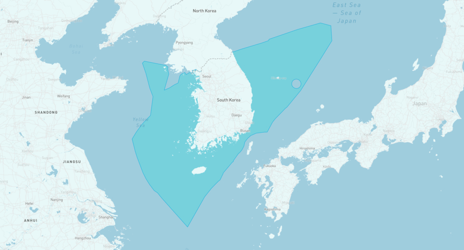
OB RIVER is currently in the South Korean Exclusive Economic Zone, based on AIS data received less than 1h ago. Track OB RIVER live using high-quality AIS by registering a free account in ShipAtlas by Maritime Optima.
Track live positionWhat type of vessel is this?
OB RIVER (IMO 9315692) is a LNG/Large vessel built in 2007 and is sailing under the flag of Marshall Islands. She has an overall length (LOA) of 288 meters and a width (beam) of 44 meters. Her summer deadweight capacity is 84,682 tonnes.
Current voyage information


Register for free to view live position, current speed, draft, course and navigational status.
Last port calls
| Port name | Arrival time | Departure time |
|---|---|---|
|
Tongyeong (kr)
|
Wednesday 29th April | Thursday 30th April |
 Bintulu (my)
|
Sunday 19th April | Wednesday 22nd April |
|
Hosan (kr)
|
Sunday 12th April | Monday 13th April |
Frequently asked questions
Where is OB RIVER right now?
The current position of OB RIVER in the the South Korean Exclusive Economic Zone, last seen less than 1h ago.
What type of vessel is OB RIVER?
OB RIVER is a LNG classified as a Large.
How big is OB RIVER?
OB RIVER is 288 meters long (LOA) and 44 meters wide (beam).
Vessel details
| Name | OB RIVER |
| Vessel type | LNG / Large |
| IMO | 9315692 |
| MMSI | 538002846 |
| Callsign | V7MF2 |
| Flag | Marshall Islands |
| Year built | 2007 |
| Draft (summer) | 12.37 meters |
| Deadweight (DWT) | 84,682 tonnes |
| Length overall (LOA) | 288 meters |
| Width (beam) | 44 meters |


