
MAMPU 1
Oil service / FPSO, IMO 9313254
Where is the ship?
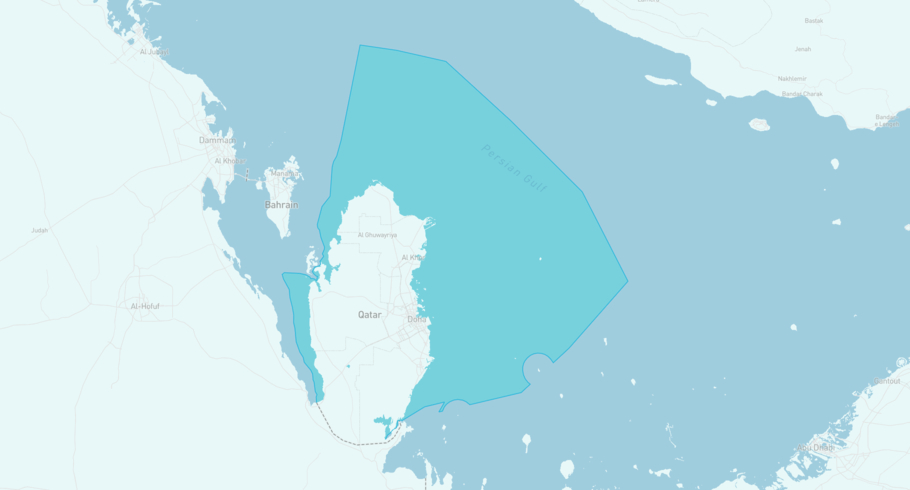
MAMPU 1 is currently in the Qatari Exclusive Economic Zone, based on AIS data received more than 12h ago. Track MAMPU 1 live using high-quality AIS by registering a free account in ShipAtlas by Maritime Optima.
Track live positionWhat type of ship is this?
MAMPU 1 (IMO 9313254) is a Oil service/FPSO ship built in 2005 and is sailing under the flag of Malaysia. She has an overall length (LOA) of 182 meters and a width (beam) of 32 meters. Her summer deadweight capacity is 47,297 tonnes.
Current voyage information
Register for free to view live position, current speed, draft, course and navigational status.
Frequently asked questions
Where is MAMPU 1 right now?
The current position of MAMPU 1 in the the Qatari Exclusive Economic Zone, last seen more than 12h ago.
What type of ship is MAMPU 1?
MAMPU 1 is a Oil service classified as a FPSO.
How big is MAMPU 1?
MAMPU 1 is 182 meters long (LOA) and 32 meters wide (beam).
Vessel details
| Name | MAMPU 1 |
| Vessel type | Oil service / FPSO |
| IMO | 9313254 |
| MMSI | 533130268 |
| Callsign | 9MVG6 |
| Flag | Malaysia |
| Year built | 2005 |
| Draft (summer) | 12.61 meters |
| Deadweight (DWT) | 47,297 tonnes |
| Length overall (LOA) | 182 meters |
| Width (beam) | 32 meters |


