
POP
Tanker / Panamax (LR 1), IMO 9307944
Where is the vessel?
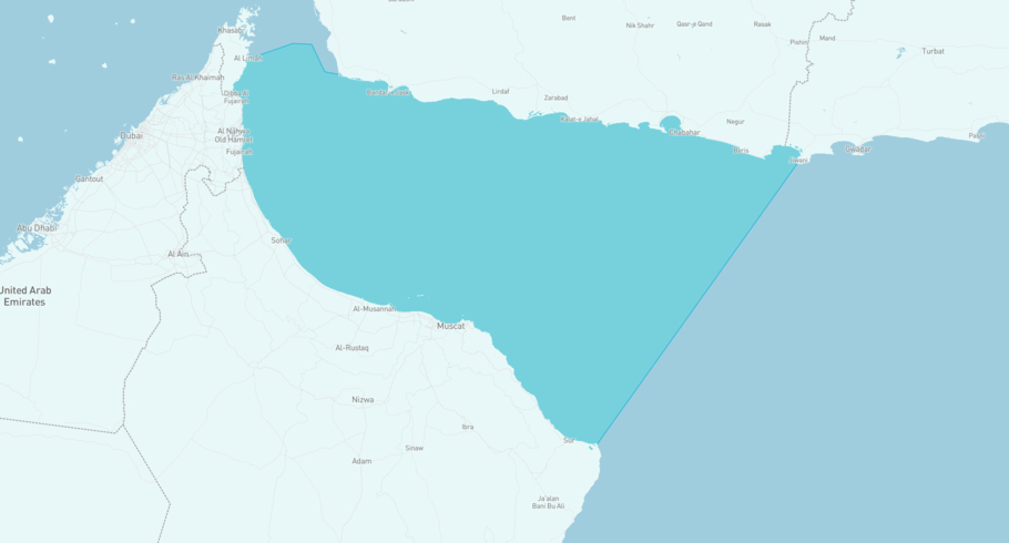
POP is currently in the Gulf of Oman, based on AIS data received more than 12h ago. Track POP live using high-quality AIS by registering a free account in ShipAtlas by Maritime Optima.
Track live positionWhat type of vessel is this?
POP (IMO 9307944) is a Tanker/Panamax (LR 1) vessel built in 2008 and is sailing under the flag of Marshall Islands. She has an overall length (LOA) of 228 meters and a width (beam) of 32 meters. Her summer deadweight capacity is 73,981 tonnes.
Current voyage information
Register for free to view live position, current speed, draft, course and navigational status.
Last port calls
| Port name | Arrival time | Departure time |
|---|---|---|
 Fujayrah (ae)
|
Thursday 23rd April | Tuesday 5th May |
 Muhammad Bin Qasim (pk)
|
Wednesday 8th April | Wednesday 15th April |
 Sohar (om)
|
Friday 27th March | Monday 6th April |
Frequently asked questions
Where is POP right now?
The current position of POP in the the Gulf of Oman, last seen more than 12h ago.
What type of vessel is POP?
POP is a Tanker classified as a Panamax (LR 1).
How big is POP?
POP is 228 meters long (LOA) and 32 meters wide (beam).
Vessel details
| Name | POP |
| Vessel type | Tanker / Panamax (LR 1) |
| IMO | 9307944 |
| MMSI | 538011135 |
| Callsign | V7A6636 |
| Flag | Marshall Islands |
| Year built | 2008 |
| Draft (summer) | 14.518 meters |
| Deadweight (DWT) | 73,981 tonnes |
| Length overall (LOA) | 228 meters |
| Width (beam) | 32 meters |


