
PLAN
Container / Post Panamax, IMO 9307023
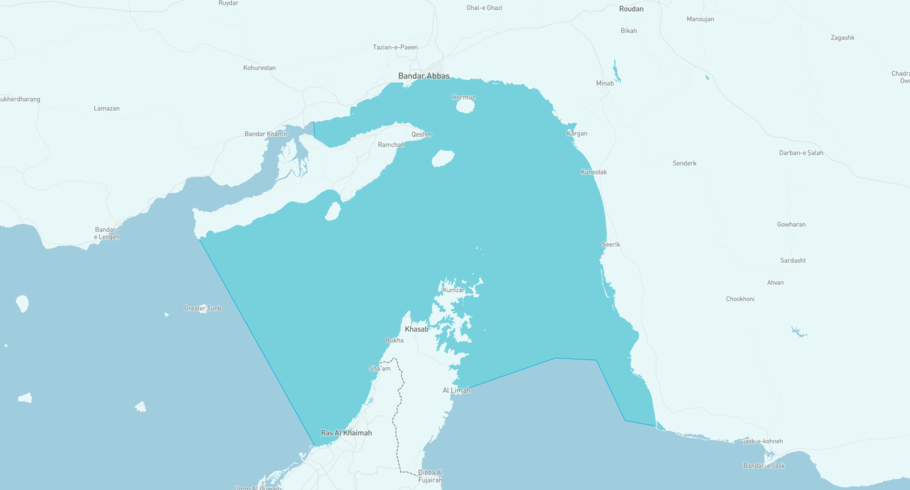
Where is the vessel?
PLAN is currently in the Strait of Hormuz, based on AIS data received more than 12h ago. Track PLAN live using high-quality AIS by registering a free account in ShipAtlas by Maritime Optima.
Track live positionWhat type of vessel is this?
PLAN (IMO 9307023) is a Container/Post Panamax vessel built in 2006 and is sailing under the flag of Guyana. She has an overall length (LOA) of 280 meters and a width (beam) of 40 meters. Her summer deadweight capacity is 66,940 tonnes.
Current voyage information

Register for free to view live position, current speed, draft, course and navigational status.
Last port calls
| Port name | Arrival time | Departure time |
|---|---|---|
|
Fujayrah (ae)
|
Tuesday 17th March | Wednesday 25th March |
|
Fujayrah (ae)
|
Thursday 4th September | Wednesday 21st January |
 Marsa Bashayer (sd)
|
Wednesday 27th August | Wednesday 27th August |
Frequently asked questions
Where is PLAN right now?
The current position of PLAN in the the Strait of Hormuz, last seen more than 12h ago.
What type of vessel is PLAN?
PLAN is a Container classified as a Post Panamax.
How big is PLAN?
PLAN is 280 meters long (LOA) and 40 meters wide (beam).
Vessel details
| Name | PLAN |
| Vessel type | Container / Post Panamax |
| IMO | 9307023 |
| MMSI | 750917000 |
| Callsign | 8RZB26 |
| Flag | Guyana |
| Year built | 2006 |
| Draft (summer) | 14.021 meters |
| Deadweight (DWT) | 66,940 tonnes |
| Length overall (LOA) | 280 meters |
| Width (beam) | 40 meters |


