
MANTA HACER
Dry bulk / Handysize, IMO 9303429
Where is the vessel?
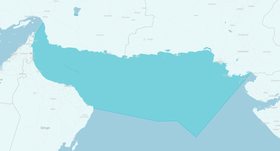
MANTA HACER is currently in the Gulf of Oman, based on AIS data received less than 1h ago. Track MANTA HACER live using high-quality AIS by registering a free account in ShipAtlas by Maritime Optima.
Track live positionWhat type of vessel is this?
MANTA HACER (IMO 9303429) is a Dry bulk/Handysize vessel built in 2004 and is sailing under the flag of Marshall Islands. She has an overall length (LOA) of 173 meters and a width (beam) of 29 meters. Her summer deadweight capacity is 32,316 tonnes.
Current voyage information


Register for free to view live position, current speed, draft, course and navigational status.
Last port calls
| Port name | Arrival time | Departure time |
|---|---|---|
|
Sohar (om)
|
Sunday 7th June | Tuesday 23rd June |
 Dong Nai (vn)
|
Wednesday 20th May | Sunday 24th May |
 Singapore (sg)
|
Saturday 16th May | Sunday 17th May |
Frequently asked questions
Where is MANTA HACER right now?
The current position of MANTA HACER in the the Gulf of Oman, last seen less than 1h ago.
What type of vessel is MANTA HACER?
MANTA HACER is a Dry bulk classified as a Handysize.
How big is MANTA HACER?
MANTA HACER is 173 meters long (LOA) and 29 meters wide (beam).
Vessel details
| Name | MANTA HACER |
| Vessel type | Dry bulk / Handysize |
| IMO | 9303429 |
| MMSI | 538009064 |
| Callsign | V7A4265 |
| Flag | Marshall Islands |
| Year built | 2004 |
| Draft (summer) | 9.573 meters |
| Deadweight (DWT) | 32,316 tonnes |
| Length overall (LOA) | 173 meters |
| Width (beam) | 29 meters |


