
NAVISTAR
Tanker / Aframax (LR 2), IMO 9296810
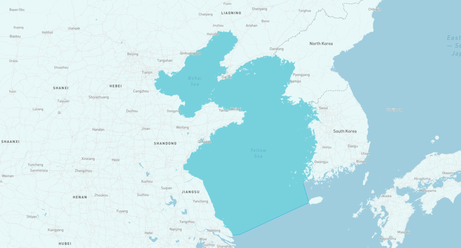
Where is the ship?
NAVISTAR is currently in the Yellow Sea, based on AIS data received 1h ago. Track NAVISTAR live using high-quality AIS by registering a free account in ShipAtlas by Maritime Optima.
Track live positionWhat type of ship is this?
NAVISTAR (IMO 9296810) is a Tanker/Aframax (LR 2) ship built in 2005 and is sailing under the flag of Cameroon. She has an overall length (LOA) of 243 meters and a width (beam) of 42 meters. Her summer deadweight capacity is 106,488 tonnes.
Current voyage information


Register for free to view live position, current speed, draft, course and navigational status.
Last port calls
| Port name | Arrival time | Departure time |
|---|---|---|
|
Nakhodka (ru)
|
Saturday 13th December | Monday 15th December |
|
Kozmino Port (ru)
|
Friday 12th December | Saturday 13th December |
|
Yantai (cn)
|
Saturday 29th November | Tuesday 2nd December |
Frequently asked questions
Where is NAVISTAR right now?
The current position of NAVISTAR in the the Yellow Sea, last seen 1h ago.
What type of ship is NAVISTAR?
NAVISTAR is a Tanker classified as a Aframax (LR 2).
How big is NAVISTAR?
NAVISTAR is 243 meters long (LOA) and 42 meters wide (beam).
Vessel details
| Name | NAVISTAR |
| Vessel type | Tanker / Aframax (LR 2) |
| IMO | 9296810 |
| MMSI | 613902604 |
| Callsign | TJME2 |
| Flag | Cameroon |
| Year built | 2005 |
| Draft (summer) | 14.73 meters |
| Deadweight (DWT) | 106,488 tonnes |
| Length overall (LOA) | 243 meters |
| Width (beam) | 42 meters |


