
LIBRAMONT
LPG / MGC, IMO 9292761
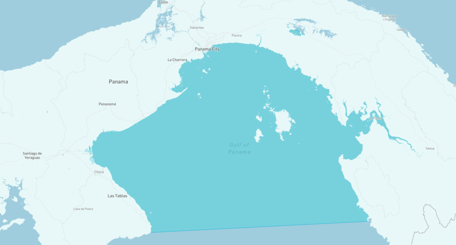
Where is the ship?
LIBRAMONT is currently in the Gulf of Panama, based on AIS data received less than 1h ago. Track LIBRAMONT live using high-quality AIS by registering a free account in ShipAtlas by Maritime Optima.
Track live positionWhat type of ship is this?
LIBRAMONT (IMO 9292761) is a LPG/MGC ship built in 2006 and is sailing under the flag of Marshall Islands. She has an overall length (LOA) of 180 meters and a width (beam) of 29 meters. Her summer deadweight capacity is 29,328 tonnes.
Current voyage information


Register for free to view live position, current speed, draft, course and navigational status.
Last port calls
| Port name | Arrival time | Departure time |
|---|---|---|
|
Mejillones (cl)
|
Sunday 17th August | Wednesday 20th August |
|
Panama Canal (pa)
|
Saturday 9th August | Sunday 10th August |
 Point Lisas (tt)
|
Monday 4th August | Tuesday 5th August |
Frequently asked questions
Where is LIBRAMONT right now?
The current position of LIBRAMONT in the the Gulf of Panama, last seen less than 1h ago.
What type of ship is LIBRAMONT?
LIBRAMONT is a LPG classified as a MGC.
How big is LIBRAMONT?
LIBRAMONT is 180 meters long (LOA) and 29 meters wide (beam).
Vessel details
| Name | LIBRAMONT |
| Vessel type | LPG / MGC |
| IMO | 9292761 |
| MMSI | 538010809 |
| Callsign | V7A7457 |
| Flag | Marshall Islands |
| Year built | 2006 |
| Draft (summer) | 10.4 meters |
| Deadweight (DWT) | 29,328 tonnes |
| Length overall (LOA) | 180 meters |
| Width (beam) | 29 meters |


