
S M A
/ Asphalt bitumen tanker, IMO 9273002
Where is the ship?
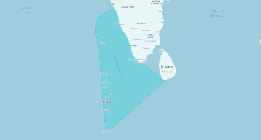
S M A is currently in the Lakshadweep Sea, based on AIS data received less than 1h ago. Track S M A live using high-quality AIS by registering a free account in ShipAtlas by Maritime Optima.
Track live positionWhat type of ship is this?
S M A (IMO 9273002) is a /Asphalt bitumen tanker ship built in 2003 and is sailing under the flag of Cook Islands. She has an overall length (LOA) of 108 meters and a width (beam) of 20 meters. Her summer deadweight capacity is 7,717 tonnes.
Current voyage information

Register for free to view live position, current speed, draft, course and navigational status.
Last port calls
| Port name | Arrival time | Departure time |
|---|---|---|
|
Khor al Fakkan (ae)
|
Tuesday 9th December | Friday 12th December |
|
Sharjah (ae)
|
Tuesday 2nd December | Monday 8th December |
|
Khor al Fakkan (ae)
|
Saturday 22nd November | Saturday 29th November |
Frequently asked questions
Where is S M A right now?
The current position of S M A in the the Lakshadweep Sea, last seen less than 1h ago.
What type of ship is S M A?
S M A is a classified as a Asphalt bitumen tanker.
How big is S M A?
S M A is 108 meters long (LOA) and 20 meters wide (beam).
Vessel details
| Name | S M A |
| Vessel type | / Asphalt bitumen tanker |
| IMO | 9273002 |
| MMSI | 518100962 |
| Callsign | E5U3873 |
| Flag | Cook Islands |
| Year built | 2003 |
| Draft (summer) | 7.269 meters |
| Deadweight (DWT) | 7,717 tonnes |
| Length overall (LOA) | 108 meters |
| Width (beam) | 20 meters |


