
ASEAN EXPLORER
Oil service / Cable layer, IMO 9236676
Where is the ship?
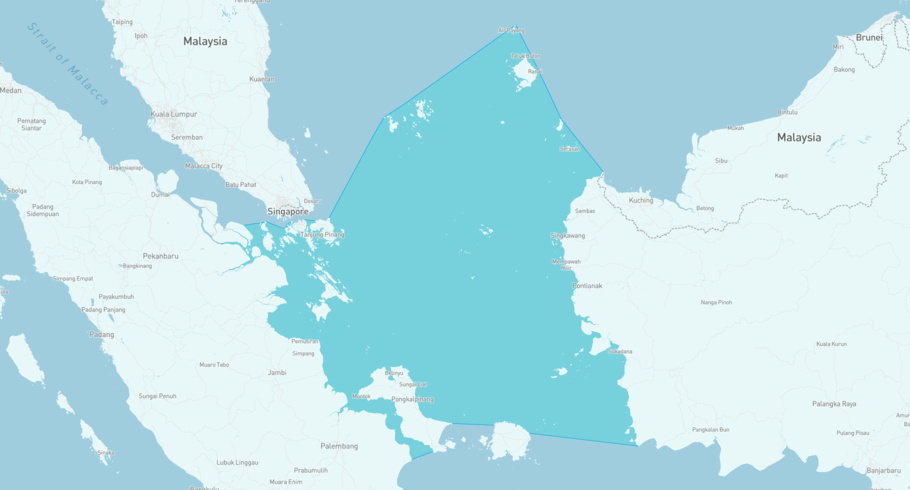
ASEAN EXPLORER is currently in the Natuna Sea, based on AIS data received less than 1h ago. Track ASEAN EXPLORER live using high-quality AIS by registering a free account in ShipAtlas by Maritime Optima.
Track live positionWhat type of ship is this?
ASEAN EXPLORER (IMO 9236676) is a Oil service/Cable layer ship built in 2002 and is sailing under the flag of Indonesia. She has an overall length (LOA) of 142 meters and a width (beam) of 24 meters. Her summer deadweight capacity is 9,650 tonnes.
Current voyage information

Register for free to view live position, current speed, draft, course and navigational status.
Last port calls
| Port name | Arrival time | Departure time |
|---|---|---|
|
Batu Ampar (id)
|
Thursday 8th January | Wednesday 14th January |
|
Singapore (sg)
|
Monday 8th December | Thursday 8th January |
|
Singapore (sg)
|
Thursday 16th October | Thursday 27th November |
Frequently asked questions
Where is ASEAN EXPLORER right now?
The current position of ASEAN EXPLORER in the the Natuna Sea, last seen less than 1h ago.
What type of ship is ASEAN EXPLORER?
ASEAN EXPLORER is a Oil service classified as a Cable layer.
How big is ASEAN EXPLORER?
ASEAN EXPLORER is 142 meters long (LOA) and 24 meters wide (beam).
Vessel details
| Name | ASEAN EXPLORER |
| Vessel type | Oil service / Cable layer |
| IMO | 9236676 |
| MMSI | 525018271 |
| Callsign | JZSY |
| Flag | Indonesia |
| Year built | 2002 |
| Deadweight (DWT) | 9,650 tonnes |
| Length overall (LOA) | 142 meters |
| Width (beam) | 24 meters |


