
KOLA
Oil service / FSO, IMO 9217979
Where is the ship?
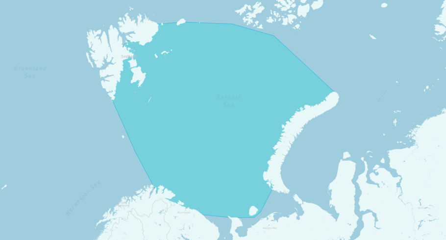
KOLA is currently in the Barents Sea, based on AIS data received more than 12h ago. Track KOLA live using high-quality AIS by registering a free account in ShipAtlas by Maritime Optima.
Track live positionWhat type of ship is this?
KOLA (IMO 9217979) is a Oil service/FSO ship built in 2001 and is sailing under the flag of Russian Federation. She has an overall length (LOA) of 335 meters and a width (beam) of 58 meters. Her summer deadweight capacity is 309,327 tonnes.
Current voyage information
Register for free to view live position, current speed, draft, course and navigational status.
Last port calls
| Port name | Arrival time | Departure time |
|---|---|---|
|
Murmansk (ru)
|
Friday 5th May | Wednesday 26th February |
Frequently asked questions
Where is KOLA right now?
The current position of KOLA in the the Barents Sea, last seen more than 12h ago.
What type of ship is KOLA?
KOLA is a Oil service classified as a FSO.
How big is KOLA?
KOLA is 335 meters long (LOA) and 58 meters wide (beam).
Vessel details
| Name | KOLA |
| Vessel type | Oil service / FSO |
| IMO | 9217979 |
| MMSI | 273414140 |
| Callsign | UBDQ5 |
| Flag | Russian Federation |
| Year built | 2001 |
| Draft (summer) | 22.72 meters |
| Deadweight (DWT) | 309,327 tonnes |
| Length overall (LOA) | 335 meters |
| Width (beam) | 58 meters |


