Current voyage information

Register for free to view current speed, draft, course and navigational status.
Last port calls
| Port name | Arrival time | Departure time |
|---|---|---|
|
Fremantle (au)
|
Tuesday 24th December | Thursday 13th February |
|
Darwin (au)
|
Saturday 21st September | Monday 2nd December |
|
Melbourne (au)
|
Sunday 25th August | Wednesday 4th September |
Frequently asked questions
Where is OCEAN SURVEYOR right now?
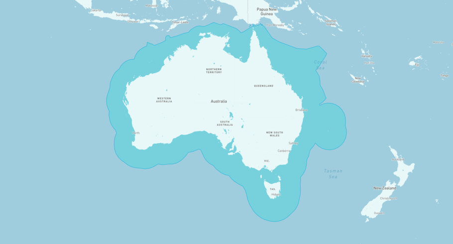
The current position of OCEAN SURVEYOR in the the Australian Exclusive Economic Zone, last seen less than 1h ago.
What type of ship is OCEAN SURVEYOR?
OCEAN SURVEYOR is a Oil service classified as a PSV.
How big is OCEAN SURVEYOR?
OCEAN SURVEYOR is 74 meters long (LOA) and 16 meters wide (beam).

OCEAN SURVEYOR
Oil service / PSV, IMO 9182215
OCEAN SURVEYOR is currently in the Australian Exclusive Economic Zone, last seen less than 1h ago
View live positionThe vessel was built in 1999, and is sailing under the flag of Marshall Islands. Her length overall (LOA) is 74 meters, and her width (beam) is 16 meters. Her summer deadweight capacity is 1,336 tonnes.
Track the live position of OCEAN SURVEYOR with AIS data from satellites, terrestrial and dynamic AIS sources. Get global coverage and live positions for all ships by registering a free account in ShipAtlas by Maritime Optima.
Register a free accountVessel details
| Name | OCEAN SURVEYOR |
| Vessel type | Oil service / PSV |
| IMO | 9182215 |
| MMSI | 538010817 |
| Callsign | V7A7465 |
| Flag | Marshall Islands |
| Year built | 1999 |
| Length overall (LOA) | 74 meters |
| Width (beam) | 16 meters |
| Deadweight (DWT) | 1,336 tonnes |


