
CAPE OSPREY
Dry bulk / Cape, IMO 9165516
Where is the ship?
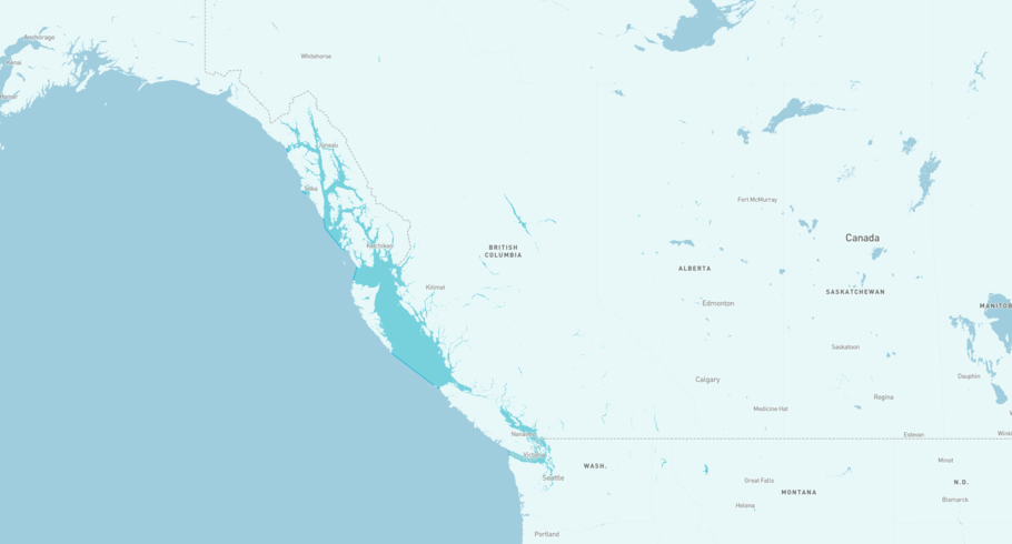
CAPE OSPREY is currently in the Coastal Waters of Southeast Alaska and British Columbia, based on AIS data received more than 12h ago. Track CAPE OSPREY live using high-quality AIS by registering a free account in ShipAtlas by Maritime Optima.
Track live positionWhat type of ship is this?
CAPE OSPREY (IMO 9165516) is a Dry bulk/Cape ship built in 1999 and is sailing under the flag of Liberia. She has an overall length (LOA) of 289 meters and a width (beam) of 45 meters. Her summer deadweight capacity is 172,510 tonnes.
Current voyage information
Register for free to view live position, current speed, draft, course and navigational status.
Last port calls
| Port name | Arrival time | Departure time |
|---|---|---|
 Ho Chi Minh City (vn)
|
Saturday 22nd February | Tuesday 22nd April |
 Bhavnagar (in)
|
Tuesday 3rd January | Wednesday 11th January |
 Rizhao (cn)
|
Monday 31st October | Tuesday 8th November |
Frequently asked questions
Where is CAPE OSPREY right now?
The current position of CAPE OSPREY in the the Coastal Waters of Southeast Alaska and British Columbia, last seen more than 12h ago.
What type of ship is CAPE OSPREY?
CAPE OSPREY is a Dry bulk classified as a Cape.
How big is CAPE OSPREY?
CAPE OSPREY is 289 meters long (LOA) and 45 meters wide (beam).
Vessel details
| Name | CAPE OSPREY |
| Vessel type | Dry bulk / Cape |
| IMO | 9165516 |
| MMSI | 636019408 |
| Callsign | D5UJ7 |
| Flag | Liberia |
| Year built | 1999 |
| Draft (summer) | 17.81 meters |
| Deadweight (DWT) | 172,510 tonnes |
| Length overall (LOA) | 289 meters |
| Width (beam) | 45 meters |


