Current voyage information
Register for free to view current speed, draft, course and navigational status.
Last port calls
| Port name | Arrival time | Departure time |
|---|---|---|
 Sorong (id)
|
Thursday 9th January | Friday 25th April |
|
Nabire (id)
|
Wednesday 8th January | Wednesday 8th January |
|
Sorong (id)
|
Tuesday 8th October | Sunday 29th December |
Frequently asked questions
Where is KMP.TERUBUK 1 right now?
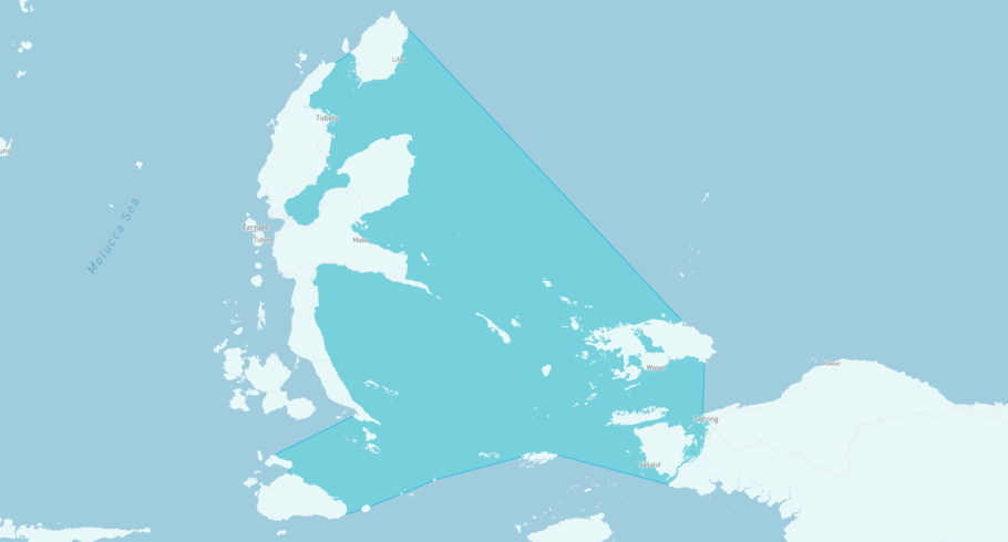
The current position of KMP.TERUBUK 1 in the the Halmahera Sea, last seen 10h ago.
What type of ship is KMP.TERUBUK 1?
KMP.TERUBUK 1 is a classified as a Ferry.
How big is KMP.TERUBUK 1?
KMP.TERUBUK 1 is 40 meters long (LOA) and 10 meters wide (beam).
KMP.TERUBUK 1
/ Ferry, IMO 9027439
KMP.TERUBUK 1 is currently in the Halmahera Sea, last seen 10h ago
View live positionThe vessel was built in 2001, and is sailing under the flag of Indonesia. Her length overall (LOA) is 40 meters, and her width (beam) is 10 meters. Her summer deadweight capacity is 99 tonnes.
Track the live position of KMP.TERUBUK 1 with AIS data from satellites, terrestrial and dynamic AIS sources. Get global coverage and live positions for all ships by registering a free account in ShipAtlas by Maritime Optima.
Register a free accountVessel details
| Name | KMP.TERUBUK 1 |
| Vessel type | / Ferry |
| IMO | 9027439 |
| MMSI | 525119003 |
| Callsign | YHCS |
| Flag | Indonesia |
| Year built | 2001 |
| Length overall (LOA) | 40 meters |
| Width (beam) | 10 meters |
| Deadweight (DWT) | 99 tonnes |


