
TORMAN II
Oil service / FSRU, IMO 9006681
Where is the ship?
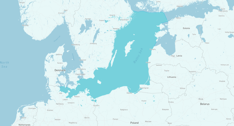
TORMAN II is currently in the Central Baltic Sea, based on AIS data received more than 12h ago. Track TORMAN II live using high-quality AIS by registering a free account in ShipAtlas by Maritime Optima.
Track live positionWhat type of ship is this?
TORMAN II (IMO 9006681) is a Oil service/FSRU ship built in 1993 and is sailing under the flag of Marshall Islands. She has an overall length (LOA) of 272 meters and a width (beam) of 47 meters. Her summer deadweight capacity is 67,554 tonnes.
Current voyage information


Register for free to view live position, current speed, draft, course and navigational status.
Last port calls
| Port name | Arrival time | Departure time |
|---|---|---|
|
Pasir Gudang (my)
|
Friday 31st January | Wednesday 26th February |
|
Tanjung Langsat (my)
|
Wednesday 31st July | Friday 31st January |
|
Pasir Gudang (my)
|
Sunday 16th June | Wednesday 31st July |
Frequently asked questions
Where is TORMAN II right now?
The current position of TORMAN II in the the Central Baltic Sea, last seen more than 12h ago.
What type of ship is TORMAN II?
TORMAN II is a Oil service classified as a FSRU.
How big is TORMAN II?
TORMAN II is 272 meters long (LOA) and 47 meters wide (beam).
Vessel details
| Name | TORMAN II |
| Vessel type | Oil service / FSRU |
| IMO | 9006681 |
| MMSI | 538008702 |
| Callsign | V7A2394 |
| Flag | Marshall Islands |
| Year built | 1993 |
| Deadweight (DWT) | 67,554 tonnes |
| Length overall (LOA) | 272 meters |
| Width (beam) | 47 meters |


