
HOLT T
/ Utility vessel, IMO 8978203
Where is the vessel?
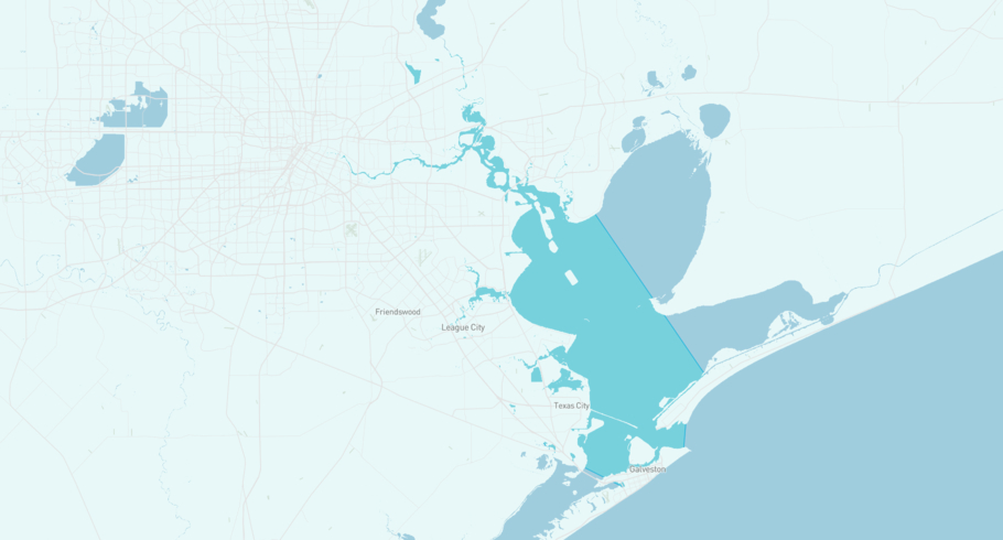
HOLT T is currently in the Houston Ship Channel, based on AIS data received more than 12h ago. Track HOLT T live using high-quality AIS by registering a free account in ShipAtlas by Maritime Optima.
Track live positionWhat type of vessel is this?
HOLT T (IMO 8978203) is a /Utility vessel vessel built in 1980 and is sailing under the flag of United States. She has an overall length (LOA) of 34 meters and a width (beam) of 8 meters. Her summer deadweight capacity is 202 tonnes.
Current voyage information
Register for free to view live position, current speed, draft, course and navigational status.
Last port calls
| Port name | Arrival time | Departure time |
|---|---|---|
|
Galveston (us)
|
Monday 13th January | Tuesday 22nd September |
|
Port Bolivar (us)
|
Monday 18th November | Monday 13th January |
|
Galveston (us)
|
Monday 4th September | Monday 18th November |
Frequently asked questions
Where is HOLT T right now?
The current position of HOLT T in the the Houston Ship Channel, last seen more than 12h ago.
What type of vessel is HOLT T?
HOLT T is a classified as a Utility vessel.
How big is HOLT T?
HOLT T is 34 meters long (LOA) and 8 meters wide (beam).
Vessel details
| Name | HOLT T |
| Vessel type | / Utility vessel |
| IMO | 8978203 |
| MMSI | 367767480 |
| Callsign | WDJ3382 |
| Flag | United States |
| Year built | 1980 |
| Deadweight (DWT) | 202 tonnes |
| Length overall (LOA) | 34 meters |
| Width (beam) | 8 meters |


